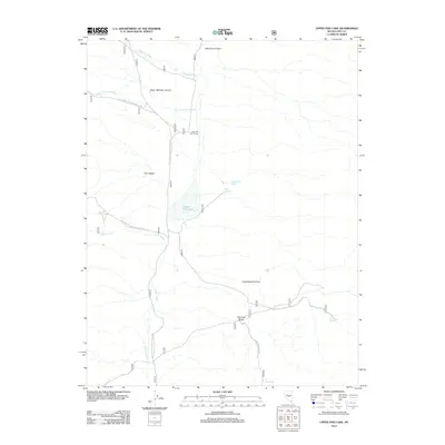
2012 Map of Upper Fish Lake
USGS Topo · Published 2012About this map
Little Fish Lake Ranch sits at the center of this Great Basin landscape, situated where the high desert terrain of Pott Hole Valley meets the drainage of Green Monster Creek. The map documents a hydrographically sensitive region defined by isolated water sources such as Upper Warm Spring, Warm Spring, and Pott Hole Spring. These springs and seasonal creeks, including Danville Creek and Clover Creek, have historically dictated human activity and ranching operations in this part of Nye County.
Find a feature on this map
18 named features on this map. Tap any name to fly to it.
Don’t see what you’re looking for? This feature index may not catch every label — zoom into the map to look around manually.
Map Details
Editions of this 2012 Upper Fish Lake Map
This is the sole edition of this map. No revisions or reprints were ever made.
Other maps of this area

1956 · Tonopah
USGS Topo · 1:250,000

1959 · Tonopah
USGS Topo · 1:250,000

1962 · Tonopah
USGS Topo · 1:250,000
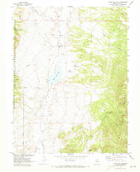
1967 · Upper Fish Lake
USGS Topo · 1:24,000
1967 · Morey Peak
USGS Topo · 1:24,000
1968 · Morey Peak
USGS Topo · 1:62,500
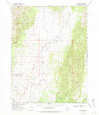
1968 · Fish Springs
USGS Topo · 1:62,500
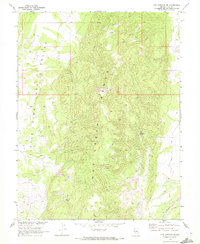
1968 · Fish Springs SE
USGS Topo · 1:24,000
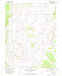
1968 · Fish Springs
USGS Topo · 1:24,000
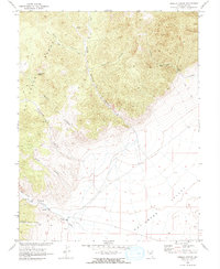
1968 · Hobble Canyon
USGS Topo · 1:24,000