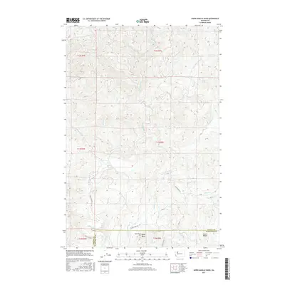
2017 Map of Upper Naselle River
USGS Topo · Published 2017About this map
The Naselle River winds through the forested highlands of the Pacific and Wahkiakum county line, where timber access roads like G-Line and E-Line crisscross the steep drainage basins. This area, mapped in the late 2010s, is defined by its industrial forest landscape and the headwaters of several critical coastal streams, including Alder Cr, Cedar Cr, and Brock Cr. Near the southern border, the small communities of Deep River and Grays River sit near the base of Deep River Hill, reflecting the region's long-standing connection to the river systems that drain toward the Columbia River estuary. The network of forest roads, such as Salmon Creek Rd and Deep River Rd, provides a clear view of the modern infrastructure supporting the local timber economy and rural connectivity between these remote settlements.
Find a feature on this map
30 named features on this map. Tap any name to fly to it.
Don’t see what you’re looking for? This feature index may not catch every label — zoom into the map to look around manually.
Map Details
Editions of this 2017 Upper Naselle River Map
This is the sole edition of this map. No revisions or reprints were ever made.
Other maps of this area
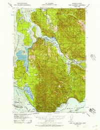
1938 · Fort Columbia
USGS Topo · 1:62,500
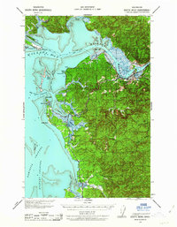
1938 · South Bend
USGS Topo · 1:62,500
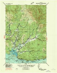
1940 · Brookfield
USGS Topo · 1:62,500
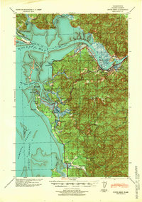
1940 · South Bend
USGS Topo · 1:62,500
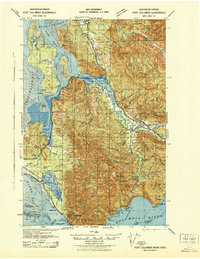
1943 · Fort Columbia
USGS Topo · 1:62,500
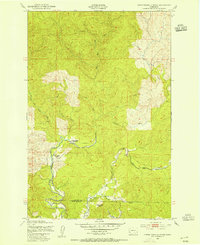
1949 · Upper Naselle River
USGS Topo · 1:24,000
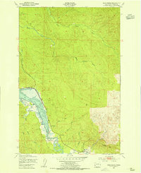
1949 · Oman Ranch
USGS Topo · 1:24,000
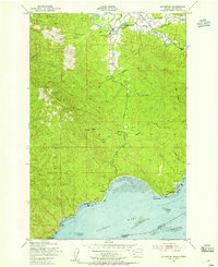
1949 · Knappton
USGS Topo · 1:24,000
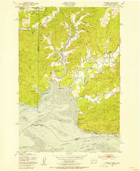
1949 · Rosburg
USGS Topo · 1:24,000

1953 · Hoquiam
USGS Topo · 1:250,000