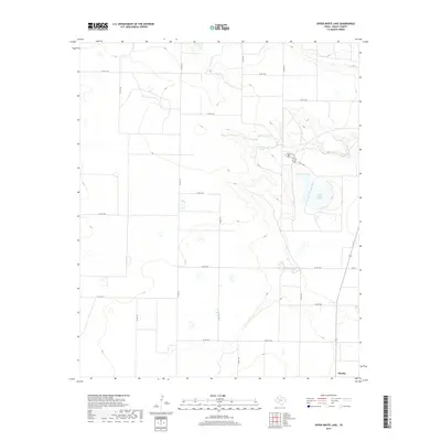
2019 Map of Upper White Lake
USGS Topo · Published 2019About this map
Enochs stands as the primary point of settlement in this High Plains region of Bailey County, where the landscape is defined by a series of alkaline depressions and seasonal water bodies. The terrain features a distinctive cluster of natural basins, most notably Upper White Lake, Lower White Lake, and Jack Young Lake. These features, along with Upper Goose Lake, indicate the unique terminal drainage patterns of the Llano Estacado. A network of county roads, such as Co RD 123, creates a rigid grid across the undulating topography, providing access to remote ranching and agricultural lands. The presence of the Swamp Trail near the lake margins suggests localized routes through the more difficult terrain surrounding these water features. This 2019 data illustrates the modern rural infrastructure of West Texas, anchored by Fm 37 and a system of numbered county routes.
Find a feature on this map
25 named features on this map. Tap any name to fly to it.
Don’t see what you’re looking for? This feature index may not catch every label — zoom into the map to look around manually.
Map Details
Editions of this 2019 Upper White Lake Map
This is the sole edition of this map. No revisions or reprints were ever made.
Other maps of this area

1954 · Clovis
USGS Topo · 1:250,000

1954 · Brownfield
USGS Topo · 1:250,000

1958 · Brownfield
USGS Topo · 1:250,000

1958 · Clovis
USGS Topo · 1:250,000

1962 · Brownfield
USGS Topo · 1:250,000
1962 · Needmore
USGS Topo · 1:24,000
1962 · Stegall
USGS Topo · 1:24,000
1962 · Baileyboro
USGS Topo · 1:24,000
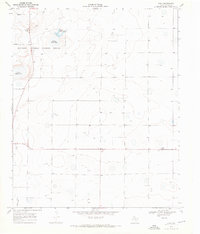
1968 · Bula
USGS Topo · 1:24,000
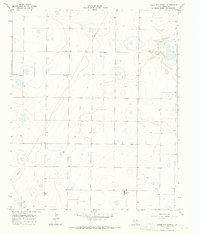
1968 · Three Way School
USGS Topo · 1:24,000