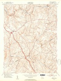
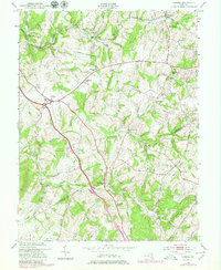
1953 Map of Urbana
USGS Topo · Published 1954About this map
Hyattstown and Urbana anchor this mid-century portrait of the rural corridor straddling the Frederick Co Montgomery Co line. The northern edge is defined by the heavy rail infrastructure of the Baltimore and Ohio Railroad, which passes through Ijamsville and Monrovia. This era captures the landscape before modern interstate expansion transformed the region, showing a network of established country roads like Reels Mill Road and Ball Road connecting small farming communities and local landmarks. Faith and education are central to the settlement pattern, evidenced by the Ebenezer Sch and various congregations such as German Brethren Ch and Montgomery Chapel. Waterways like Bush Creek, Bennett Creek, and Little Bennett Creek wind through the hills, while specialized sites like the Sanitarium near Ijamsville reflect the area's diverse 20th-century history.
Find a feature on this map
35 named features on this map. Tap any name to fly to it.
Don’t see what you’re looking for? This feature index may not catch every label — zoom into the map to look around manually.
Map Details
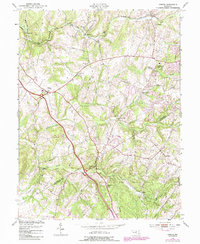
Editions of this 1953 Urbana Map
6 editions found
Other maps of this area

1893 · Frederick
USGS Topo · 1:125,000

1894 · Frederick
USGS Topo · 1:125,000

1908 · Rockville
USGS Topo · 1:62,500

1908 · Seneca
USGS Topo · 1:62,500

1908 · Ijamsville
USGS Topo · 1:62,500

1909 · Mount Airy
USGS Topo · 1:62,500

1909 · Ijamsville
USGS Topo · 1:62,500

1923 · Rockville
USGS Topo · 1:62,500

1942 · Frederick
USGS Topo · 1:62,500

1944 · Walkersville
USGS Topo · 1:31,680