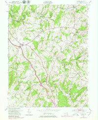
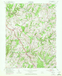
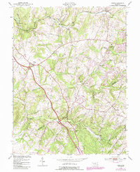
1953 Map of Urbana
USGS Topo · Published 1980About this map
The rolling Maryland piedmont at the Frederick and Montgomery County line is defined by the agricultural settlements of Urbana and Hyattstown during the mid-20th century. This area shows a transition in transportation and land use, where the established path of the Baltimore and Ohio railroad corridor in the north near Ijamsville and Monrovia contrasts with the emerging modern highway infrastructure. Local social life is evidenced by numerous landmarks such as Montgomery Chapel, Pleasant Grove Church, and the Ebenezer School.
Find a feature on this map
35 named features on this map. Tap any name to fly to it.
Don’t see what you’re looking for? This feature index may not catch every label — zoom into the map to look around manually.
Map Details
Editions of this 1953 Urbana Map
6 editions found
Other maps of this area

1893 · Frederick
USGS Topo · 1:125,000

1894 · Frederick
USGS Topo · 1:125,000

1908 · Rockville
USGS Topo · 1:62,500

1908 · Seneca
USGS Topo · 1:62,500

1908 · Ijamsville
USGS Topo · 1:62,500

1909 · Mount Airy
USGS Topo · 1:62,500

1909 · Ijamsville
USGS Topo · 1:62,500

1923 · Rockville
USGS Topo · 1:62,500

1942 · Frederick
USGS Topo · 1:62,500

1944 · Walkersville
USGS Topo · 1:31,680