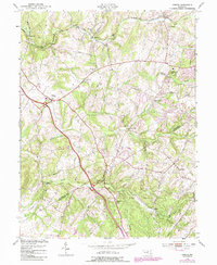
1953 Map of Urbana
USGS Topo · Published 1987About this map
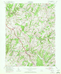
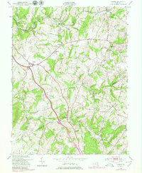
Urbana sits at the heart of this landscape, where early 1950s rural life is preserved in detail along the border of Frederick and Montgomery counties. The map traces a network of farm-to-market routes and small settlements like Ijamsville and Hyattstown, many of which developed around the topography of Bennett Creek and Bush Creek. Transportation history is evident in the path of the Baltimore and Ohio railroad corridor cutting through the northern section near Monrovia.
Find a feature on this map
31 named features on this map. Tap any name to fly to it.
Don’t see what you’re looking for? This feature index may not catch every label — zoom into the map to look around manually.
Map Details
Editions of this 1953 Urbana Map
6 editions found
Other maps of this area

1893 · Frederick
USGS Topo · 1:125,000

1894 · Frederick
USGS Topo · 1:125,000

1908 · Rockville
USGS Topo · 1:62,500

1908 · Seneca
USGS Topo · 1:62,500

1908 · Ijamsville
USGS Topo · 1:62,500

1909 · Mount Airy
USGS Topo · 1:62,500

1909 · Ijamsville
USGS Topo · 1:62,500

1923 · Rockville
USGS Topo · 1:62,500

1942 · Frederick
USGS Topo · 1:62,500

1944 · Walkersville
USGS Topo · 1:31,680