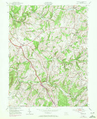
1953 Map of Urbana
USGS Topo · Published 1972About this map
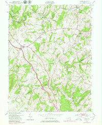
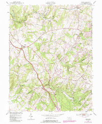
The boundary between Frederick Co Montgomery Co divides this landscape of mid-century rural Maryland, where the drainage of Bennett Creek and Bush Creek shapes the local topography. Local commerce and transit are centered around Urbana and Hyattstown, while the Baltimore and Ohio railroad corridor facilitates movement in the northern reaches near Monrovia. This edition, reflecting early 1970s revisions over a 1953 base, documents the expansion of road networks through small communities such as Centerville and Green Valley. Social life is anchored by numerous rural institutions, including the Ebenezer Sch, German Brethren Ch, and Montgomery Chapel. The presence of the Sanitarium near Urbana and several scattered cemeteries provides specific points of interest for local historians and genealogists tracing the development of these crossroads settlements during a period of transition.
Find a feature on this map
28 named features on this map. Tap any name to fly to it.
Don’t see what you’re looking for? This feature index may not catch every label — zoom into the map to look around manually.
Map Details
Editions of this 1953 Urbana Map
6 editions found
Other maps of this area

1893 · Frederick
USGS Topo · 1:125,000

1894 · Frederick
USGS Topo · 1:125,000

1908 · Rockville
USGS Topo · 1:62,500

1908 · Seneca
USGS Topo · 1:62,500

1908 · Ijamsville
USGS Topo · 1:62,500

1909 · Mount Airy
USGS Topo · 1:62,500

1909 · Ijamsville
USGS Topo · 1:62,500

1923 · Rockville
USGS Topo · 1:62,500

1942 · Frederick
USGS Topo · 1:62,500

1944 · Walkersville
USGS Topo · 1:31,680