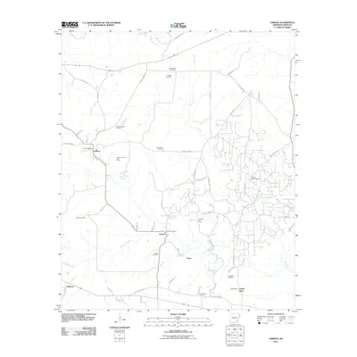
2011 Map of Urbana
USGS Topo · Published 2011About this map
Lawson and Urbana serve as the primary hubs in this corner of Union County, defined by a landscape deeply integrated with the petroleum industry. The presence of the Lawson Oil and Gas Field, Urbana Oil Field, and Sandy Bend Oil Field indicates a region where economic life is tied to the subsurface. These fields are interspersed with rural homesteads and local roads like Rhodes Chapel Rd and Sandy Bend Rd.
Find a feature on this map
56 named features on this map. Tap any name to fly to it.
Don’t see what you’re looking for? This feature index may not catch every label — zoom into the map to look around manually.
Map Details
Editions of this 2011 Urbana Map
This is the sole edition of this map. No revisions or reprints were ever made.
Other maps of this area

1927 · El Dorado
USGS Topo · 1:62,500

1930 · El Dorado
USGS Topo · 1:62,500

1933 · Strong
USGS Topo · 1:62,500

1934 · Moro Bay
USGS Topo · 1:62,500

1937 · Strong
USGS Topo · 1:62,500

1938 · Moro Bay
USGS Topo · 1:62,500

1939 · Moro Bay
USGS Topo · 1:62,500

1939 · Strong
USGS Topo · 1:62,500

1951 · El Dorado
USGS Topo · 1:62,500

1953 · El Dorado
USGS Topo · 1:250,000