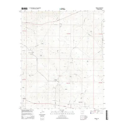
2014 Map of Urbana
USGS Topo · Published 2014About this map
Lawson and Urbana serve as the primary hubs in this section of Union County, characterized by a mix of timberlands and active energy extraction. The landscape is dotted with several family and community burial grounds, including the Rhodes Chapel Cem and Philadelphia Cem, which provide significant points of interest for genealogical research in southern Arkansas.
Find a feature on this map
63 named features on this map. Tap any name to fly to it.
Don’t see what you’re looking for? This feature index may not catch every label — zoom into the map to look around manually.
Map Details
Editions of this 2014 Urbana Map
This is the sole edition of this map. No revisions or reprints were ever made.
Other maps of this area
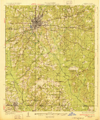
1927 · El Dorado
USGS Topo · 1:62,500
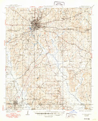
1930 · El Dorado
USGS Topo · 1:62,500
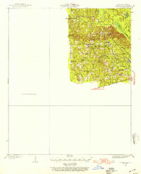
1933 · Strong
USGS Topo · 1:62,500
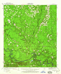
1934 · Moro Bay
USGS Topo · 1:62,500
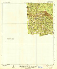
1937 · Strong
USGS Topo · 1:62,500
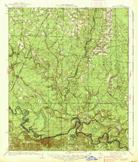
1938 · Moro Bay
USGS Topo · 1:62,500
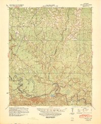
1939 · Moro Bay
USGS Topo · 1:62,500
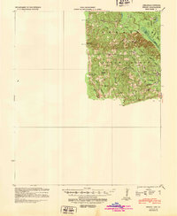
1939 · Strong
USGS Topo · 1:62,500
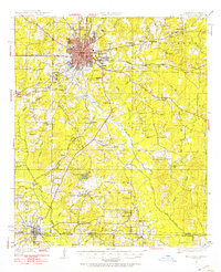
1951 · El Dorado
USGS Topo · 1:62,500

1953 · El Dorado
USGS Topo · 1:250,000