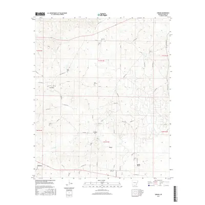
2017 Map of Urbana
USGS Topo · Published 2017About this map
The crossroads of Urbana and Lawson define this portion of Union County, Arkansas, where a dense network of country roads connects scattered family settlements and burial grounds. The landscape is marked by numerous small cemeteries, such as Philadelphia Cem, Rhodes Chapel Cem, and Knowles Cem, suggesting a long history of established local families. Small watercourses like Woodard Cr and Dry Cr weave through the terrain, historically influencing the placement of early homesteads and connecting the rural communities of Payne and Sandy Bend. The detailed road network, including historic routes like Old Hwy 15 and Feldmann Rd, illustrates the persistence of these rural enclaves into the modern era, providing a clear view of the area's geography before significant urban expansion.
Find a feature on this map
60 named features on this map. Tap any name to fly to it.
Don’t see what you’re looking for? This feature index may not catch every label — zoom into the map to look around manually.
Map Details
Editions of this 2017 Urbana Map
This is the sole edition of this map. No revisions or reprints were ever made.
Other maps of this area
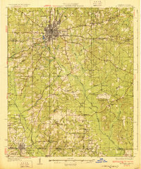
1927 · El Dorado
USGS Topo · 1:62,500
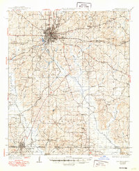
1930 · El Dorado
USGS Topo · 1:62,500
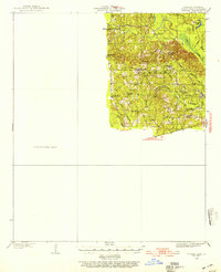
1933 · Strong
USGS Topo · 1:62,500
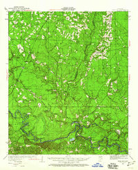
1934 · Moro Bay
USGS Topo · 1:62,500
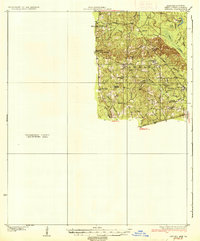
1937 · Strong
USGS Topo · 1:62,500
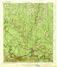
1938 · Moro Bay
USGS Topo · 1:62,500
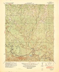
1939 · Moro Bay
USGS Topo · 1:62,500
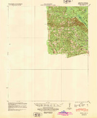
1939 · Strong
USGS Topo · 1:62,500
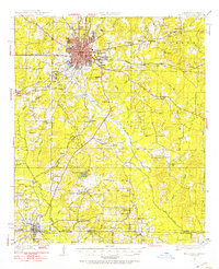
1951 · El Dorado
USGS Topo · 1:62,500

1953 · El Dorado
USGS Topo · 1:250,000