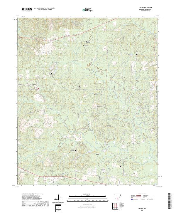
2024 Map of Urbana
USGS Topo · Published 2024About this map
Urbana Cem and several surrounding burial grounds characterize the social landscape of this part of Union County. The settlement patterns are defined by small communities such as Lawson, Payne, and Hillsboro, connected by a network of county roads including Old Hwy 15 and Todd Rd. The terrain is drained by several waterways, notably Cypress Creek, Dry Creek, and Woodard Creek, which carve through the timbered landscape.
Find a feature on this map
61 named features on this map. Tap any name to fly to it.
Don’t see what you’re looking for? This feature index may not catch every label — zoom into the map to look around manually.
Map Details
Editions of this 2024 Urbana Map
This is the sole edition of this map. No revisions or reprints were ever made.
Other maps of this area

1927 · El Dorado
USGS Topo · 1:62,500

1930 · El Dorado
USGS Topo · 1:62,500

1933 · Strong
USGS Topo · 1:62,500

1934 · Moro Bay
USGS Topo · 1:62,500

1937 · Strong
USGS Topo · 1:62,500

1938 · Moro Bay
USGS Topo · 1:62,500

1939 · Moro Bay
USGS Topo · 1:62,500

1939 · Strong
USGS Topo · 1:62,500

1951 · El Dorado
USGS Topo · 1:62,500

1953 · El Dorado
USGS Topo · 1:250,000