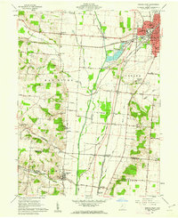
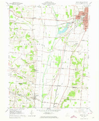
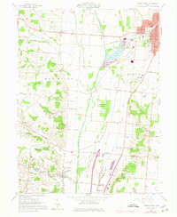
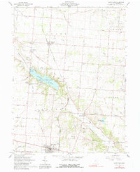
1961 Map of Urbana West
USGS Topo · Published 1962This historical map portrays the area of Urbana West in 1961, primarily covering Champaign County as well as portions of Clark County. Featuring a scale of 1:24000, this map provides a highly detailed snapshot of the terrain, roads, buildings, counties, and historical landmarks in the Urbana West region at the time. Published in 1962, it is one of 4 known editions of this map due to revisions or reprints.
Find a feature on this map
64 named features on this map. Tap any name to fly to it.
Don’t see what you’re looking for? This feature index may not catch every label — zoom into the map to look around manually.
Map Details
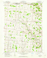
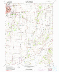
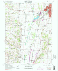
Editions of this 1961 Urbana West Map
4 editions found
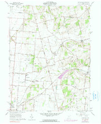
Historical Maps of Urbana Monument Square Historic District Through Time
12 maps found
1961 Kingscreek
Champaign County, OH

1961 Northville
Champaign County, OH
1961 Saint Paris
Champaign County, OH
1961 Thackery
Champaign County, OH
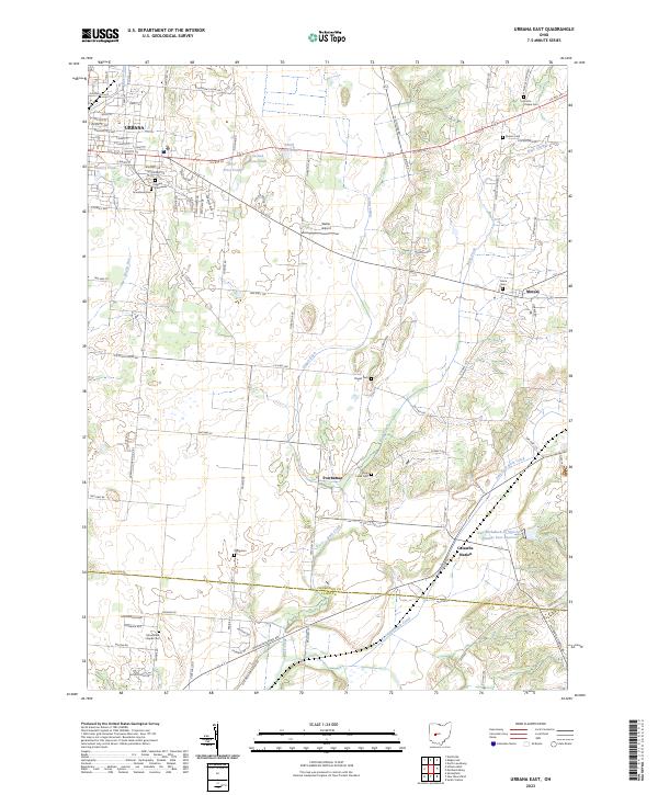
1961 Urbana East
Champaign County, OH
1961 Urbana West
Champaign County, OH
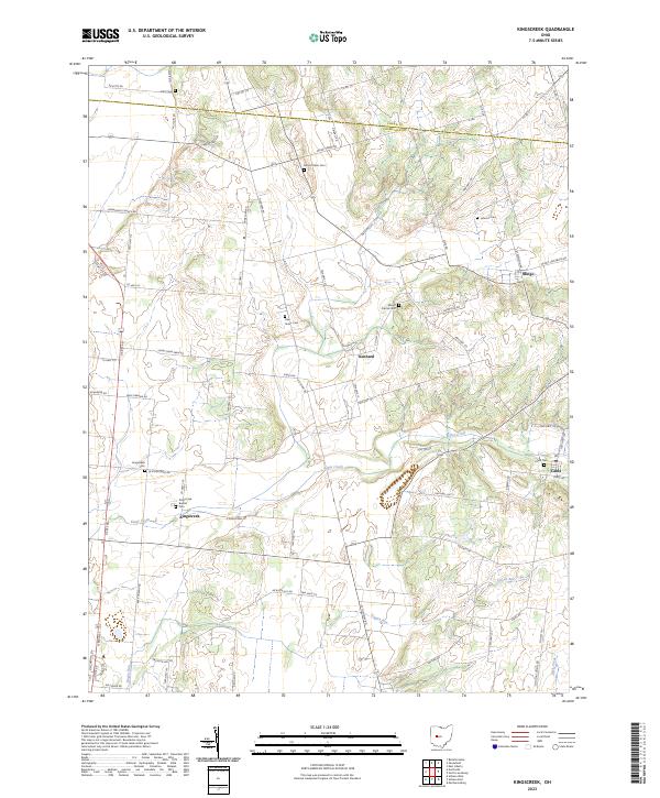
2023 Kingscreek
Champaign County, OH
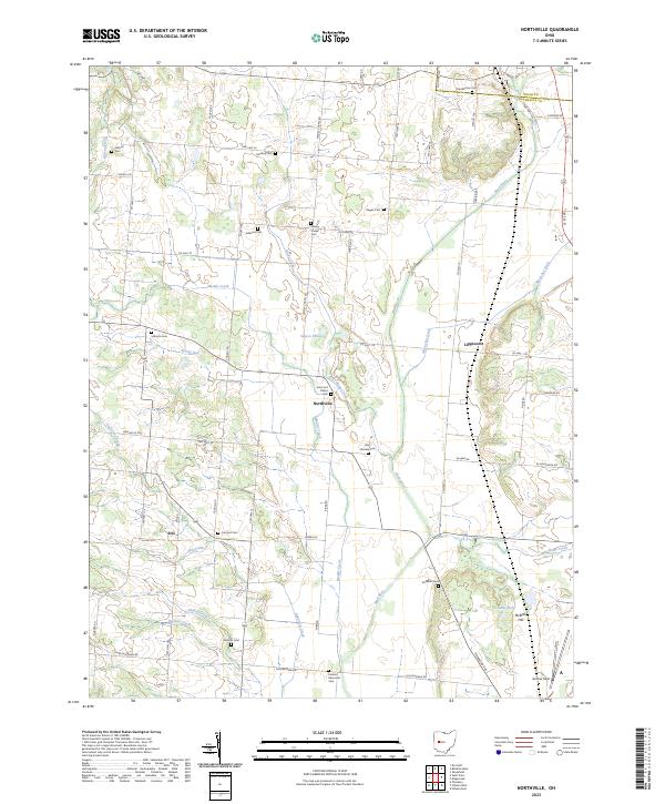
2023 Northville
Champaign County, OH
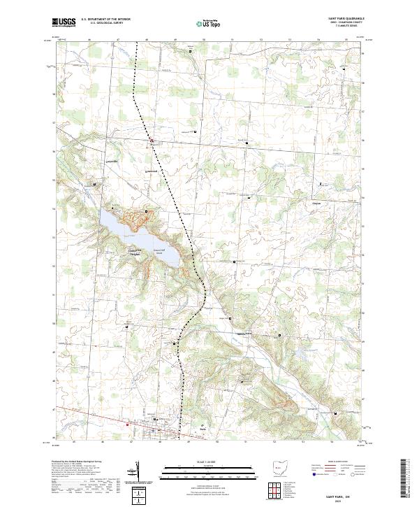
2023 Saint Paris
Champaign County, OH
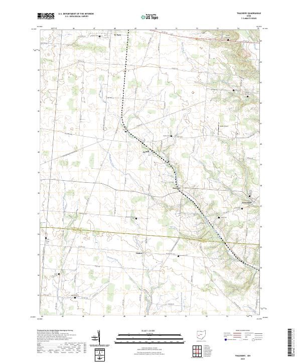
2023 Thackery
Champaign County, OH
2023 Urbana East
Champaign County, OH
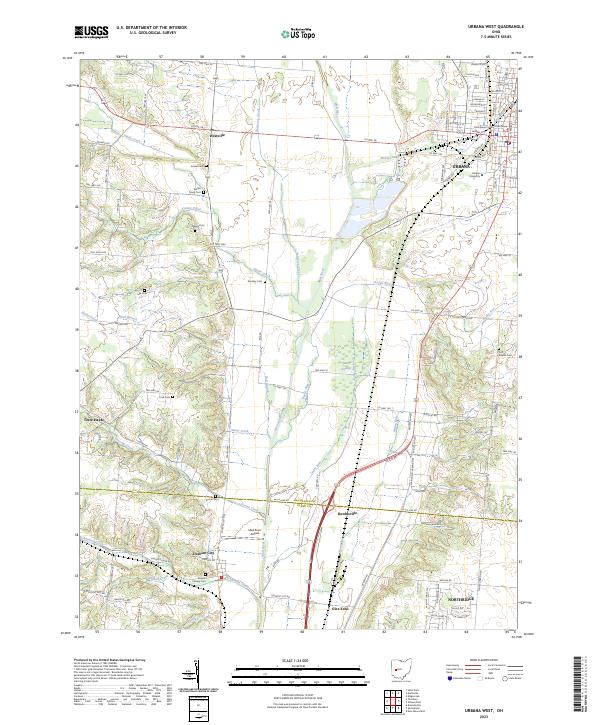
2023 Urbana West
Champaign County, OH