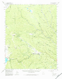
1955 Map of Ute Park
USGS Topo · Published 1984About this map
Philmont Ranch dominates this mid-century survey of the Sangre de Cristo Range, showing the vast Beaubien and Miranda Grant as it transitioned into a world-famous scouting destination. The landscape is a network of backcountry camps and historical mining sites, notably at Baldy Mountain where the French Henry Mine and Aztec Mine are located near the Virginia City (Site). This area represents the intersection of the late 19th-century gold rush era and the mid-20th-century development of organized outdoor recreation.
Find a feature on this map
91 named features on this map. Tap any name to fly to it.
Don’t see what you’re looking for? This feature index may not catch every label — zoom into the map to look around manually.
Map Details
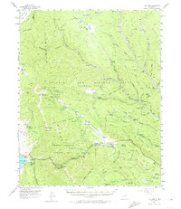
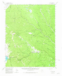
Editions of this 1955 Ute Park Map
5 editions found

Other maps of this area

1954 · Raton
USGS Topo · 1:250,000

1955 · Cimarron
USGS Topo · 1:62,500

1955 · Ute Park
USGS Topo · 1:62,500

1956 · Tooth Of Time
USGS Topo · 1:62,500

1956 · Miami
USGS Topo · 1:62,500

1958 · Raton
USGS Topo · 1:250,000

1962 · Ash Mountain
USGS Topo · 1:62,500

1962 · Casa Grande
USGS Topo · 1:62,500

1963 · Eagle Nest
USGS Topo · 1:24,000

1963 · Red River Pass
USGS Topo · 1:24,000