Loading...
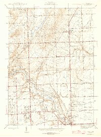
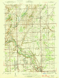
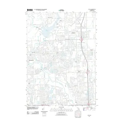
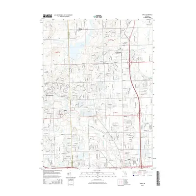
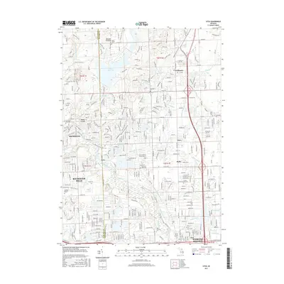
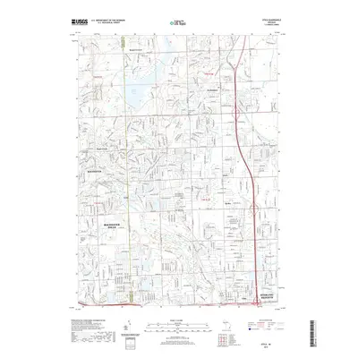
Loading map...1946 Map of Utica
USGS Topo · Published 1946About this map
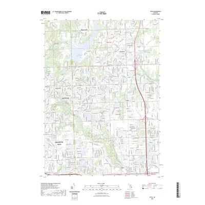
Utica and the surrounding borderlands of Oakland and Macomb counties appear here during the mid-1940s, a period defined by the convergence of agricultural traditions and the expanding transportation networks of Southeast Michigan. The Michigan Central and Grand Trunk Western railroads anchor the industrial and transit corridor, while the Central Canal and Clinton River navigate the lowlands. Local genealogy is well-represented through numerous rural education and burial sites, including Ewell Sch, Andrews Sch, and the Stony Creek Cem.
Find a feature on this map
63 named features on this map. Tap any name to fly to it.
Don’t see what you’re looking for? This feature index may not catch every label — zoom into the map to look around manually.
Map Details
Date Portrayed1946
Date Published1946
PublisherU.S. Geological Survey
Map TypeTopographic
Scale1:24,000
Physical Dimensions19.87 x 26.72 inches
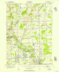
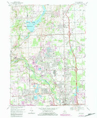
Editions of this 1946 Utica Map
2 editions found
Historical Maps of Sterling Heights Through Time
8 maps found
Featured Locations
- Oakland Charter Township, MI
- Rochester Hills, MI
- Shelby Charter Township, MI
- Sterling Heights, MI
- Washington Charter Township, MI
Source Details
SourceU.S. Geological Survey
CopyrightPublic Domain