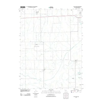
2012 Map of Utica West
USGS Topo · Published 2012About this map
Mooresville and Utica anchor the northern reaches of this Livingston County landscape, situated along the east-west transit corridor. The terrain is defined by a dense network of watercourses, including the winding path of Shoal Creek and the southern flow of Rattlesnake Creek, which converge in a broad, low-lying basin. To the south, the small communities of Ludlow and Dawn serve as local hubs for the surrounding farmstead roads like Highway DD.
Find a feature on this map
47 named features on this map. Tap any name to fly to it.
Don’t see what you’re looking for? This feature index may not catch every label — zoom into the map to look around manually.
Map Details
Editions of this 2012 Utica West Map
This is the sole edition of this map. No revisions or reprints were ever made.
Other maps of this area

1921 · Chillicothe
USGS Topo · 1:62,500

1922 · Gallatin
USGS Topo · 1:62,500

1923 · Chillicothe
USGS Topo · 1:62,500

1924 · Dawn
USGS Topo · 1:62,500

1924 · Braymer
USGS Topo · 1:62,500

1950 · Coloma
USGS Topo · 1:24,000

1950 · Plymouth
USGS Topo · 1:24,000

1951 · Utica
USGS Topo · 1:62,500

1953 · Moberly
USGS Topo · 1:250,000

1954 · Moberly
USGS Topo · 1:250,000