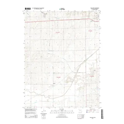
2015 Map of Utica West
USGS Topo · Published 2015About this map
Mooresville and Utica anchor the northern landscape of this Missouri quadrangle, where the terrain transitions from the upland settlements along the US Highway 36 corridor down toward the significant riparian corridor of Shoal Creek. The map documents a predominantly agricultural region defined by its watercourses, including the winding paths of Rattlesnake Cr and Clear Cr as they move through the township sections.
Find a feature on this map
26 named features on this map. Tap any name to fly to it.
Don’t see what you’re looking for? This feature index may not catch every label — zoom into the map to look around manually.
Map Details
Editions of this 2015 Utica West Map
This is the sole edition of this map. No revisions or reprints were ever made.
Other maps of this area

1921 · Chillicothe
USGS Topo · 1:62,500

1922 · Gallatin
USGS Topo · 1:62,500

1923 · Chillicothe
USGS Topo · 1:62,500

1924 · Dawn
USGS Topo · 1:62,500

1924 · Braymer
USGS Topo · 1:62,500

1950 · Coloma
USGS Topo · 1:24,000

1950 · Plymouth
USGS Topo · 1:24,000

1951 · Utica
USGS Topo · 1:62,500

1953 · Moberly
USGS Topo · 1:250,000

1954 · Moberly
USGS Topo · 1:250,000