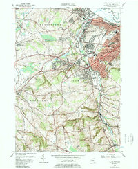
1955 Map of Utica West
USGS Topo · Published 1989About this map
Utica and its western suburbs appear here during a period of significant mid-century expansion, centered at the confluence of the Mohawk River and Oriskany Creek. The landscape transition from the dense industrial and residential blocks of Yorkville and New York Mills to the higher elevations of Hart Hill and Burrstone Hill is clearly documented. Of particular interest is the burgeoning infrastructure of the era, including the N Y State Thruway and the Mohawk Valley Technical Institute, alongside established landmarks like St Elizabeth Hospital.
Find a feature on this map
85 named features on this map. Tap any name to fly to it.
Don’t see what you’re looking for? This feature index may not catch every label — zoom into the map to look around manually.
Map Details
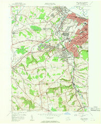
Editions of this 1955 Utica West Map
2 editions found
Other maps of this area

1895 · Oriskany
USGS Topo · 1:62,500

1898 · Utica
USGS Topo · 1:62,500

1898 · Oriskany
USGS Topo · 1:62,500

1900 · Utica
USGS Topo · 1:62,500

1907 · Winfield
USGS Topo · 1:62,500

1907 · Sangerfield
USGS Topo · 1:62,500

1943 · Utica East
USGS Topo · 1:24,000

1943 · Cassville
USGS Topo · 1:24,000

1943 · Sangerfield
USGS Topo · 1:62,500
1943 · West Winfield
USGS Topo · 1:24,000