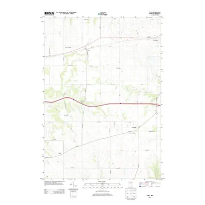
2013 Map of Utica
USGS Topo · Published 2013About this map
The city of Utica and the western edge of Lewiston anchor this landscape in Winona County, where the agricultural uplands are deeply dissected by the headwaters of several drainages. The Us-14 corridor serves as the primary east-west artery, connecting the established settlements and rural township roads like St Charles Twp 4. Beyond the main towns, smaller historic clusters such as Fremont and Clyde reflect the area's legacy as a series of rural hubs for farming families.
Find a feature on this map
42 named features on this map. Tap any name to fly to it.
Don’t see what you’re looking for? This feature index may not catch every label — zoom into the map to look around manually.
Map Details
Editions of this 2013 Utica Map
This is the sole edition of this map. No revisions or reprints were ever made.
Other maps of this area

1932 · Cochrane
USGS Topo · 1:62,500

1934 · Plainview
USGS Topo · 1:62,500

1934 · Cochrane
USGS Topo · 1:62,500

1937 · Cochrane
USGS Topo · 1:62,500

1938 · Plainview
USGS Topo · 1:62,500

1953 · Saint Paul
USGS Topo · 1:250,000

1953 · Eau Claire
USGS Topo · 1:250,000

1954 · Chatfield
USGS Topo · 1:62,500

1954 · Lewiston
USGS Topo · 1:62,500

1954 · Mason City
USGS Topo · 1:250,000