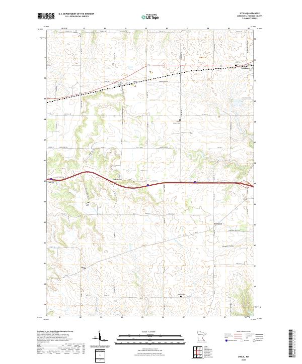
2022 Map of Utica
USGS Topo · Published 2022About this map
Utica and Lewiston serve as the primary population centers on this landscape, connected by a network of rural routes and the modern Interstate corridor. The terrain is defined by the sharp transition from the rolling uplands of the north to the more complex drainages of the south, where Rush Cr and Hemingway Cr carve through the topography. In the southern portion of the quadrangle, the small settlement of Fremont sits near the head of Ferguson Valley, while Clyde occupies a position further west along the hillsides.
Find a feature on this map
68 named features on this map. Tap any name to fly to it.
Don’t see what you’re looking for? This feature index may not catch every label — zoom into the map to look around manually.
Map Details
Editions of this 2022 Utica Map
This is the sole edition of this map. No revisions or reprints were ever made.
Other maps of this area

1932 · Cochrane
USGS Topo · 1:62,500

1934 · Plainview
USGS Topo · 1:62,500

1934 · Cochrane
USGS Topo · 1:62,500

1937 · Cochrane
USGS Topo · 1:62,500

1938 · Plainview
USGS Topo · 1:62,500

1953 · Saint Paul
USGS Topo · 1:250,000

1953 · Eau Claire
USGS Topo · 1:250,000

1954 · Chatfield
USGS Topo · 1:62,500

1954 · Lewiston
USGS Topo · 1:62,500

1954 · Mason City
USGS Topo · 1:250,000