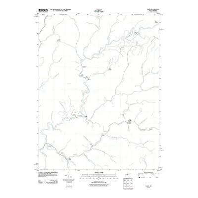
2011 Map of Vadis
USGS Topo · Published 2011About this map
Vadis Post Office and Alum Bridge Post Office serve as the primary community anchors in this landscape defined by the winding waters of Fink Creek and Leading Creek. The terrain is characterized by a dense network of family-named forks and runs, such as Alum Fork, Walnut Fork, and Sleeths Run, reflecting generations of local land use. Local history is deeply etched into the geography through numerous rural burial grounds, including the Halderman Cemetery, Point Pleasant Cemetery, and Woofter Cemetery.
Find a feature on this map
74 named features on this map. Tap any name to fly to it.
Don’t see what you’re looking for? This feature index may not catch every label — zoom into the map to look around manually.
Map Details
Editions of this 2011 Vadis Map
This is the sole edition of this map. No revisions or reprints were ever made.
Other maps of this area

1893 · Sutton
USGS Topo · 1:125,000

1904 · Vadis
USGS Topo · 1:62,500

1906 · Holbrook
USGS Topo · 1:62,500

1906 · Glenville
USGS Topo · 1:62,500

1906 · Burnsville
USGS Topo · 1:62,500

1924 · Holbrook
USGS Topo · 1:62,500

1925 · Glenville
USGS Topo · 1:62,500

1925 · Burnsville
USGS Topo · 1:62,500

1925 · Vadis
USGS Topo · 1:62,500

1926 · Holbrook
USGS Topo · 1:62,500