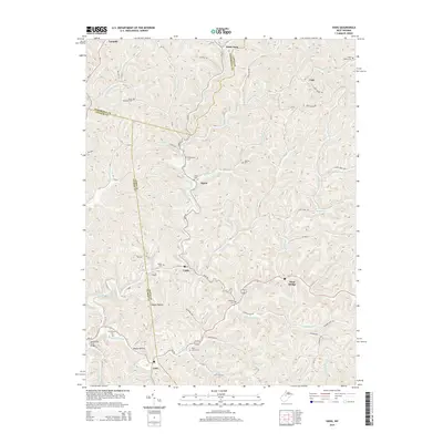
2014 Map of Vadis
USGS Topo · Published 2014About this map
The complex intersection of Doddridge, Gilmer, and Lewis counties defines this survey of central West Virginia. Small, isolated settlements like Vadis and Hurst anchor a landscape dominated by the branching watersheds of Leading Creek and the Walnut Fork. Local history is deeply embedded in the terrain through family-named landmarks and numerous rural burial grounds, including the Halderman, Saint Marys, and Woofter cemeteries. The transition from the high ridges of Elk Lick to the valley floor at Alum Bridge illustrates the region's steep topography. Notable infrastructure is sparse but specific, such as the Spruce Run Truss Bridge over Spruce Run and the presence of Oil Well Rd, signaling the enduring presence of the energy industry in the hills north of Linn.
Find a feature on this map
88 named features on this map. Tap any name to fly to it.
Don’t see what you’re looking for? This feature index may not catch every label — zoom into the map to look around manually.
Map Details
Editions of this 2014 Vadis Map
This is the sole edition of this map. No revisions or reprints were ever made.
Other maps of this area

1893 · Sutton
USGS Topo · 1:125,000

1904 · Vadis
USGS Topo · 1:62,500

1906 · Holbrook
USGS Topo · 1:62,500

1906 · Glenville
USGS Topo · 1:62,500

1906 · Burnsville
USGS Topo · 1:62,500

1924 · Holbrook
USGS Topo · 1:62,500

1925 · Glenville
USGS Topo · 1:62,500

1925 · Burnsville
USGS Topo · 1:62,500

1925 · Vadis
USGS Topo · 1:62,500

1926 · Holbrook
USGS Topo · 1:62,500