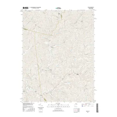
2016 Map of Vadis
USGS Topo · Published 2016About this map
Linn Cox S Mills stands as a prominent local landmark at the southern edge of this West Virginia landscape, where the borders of Lewis, Gilmer, and Doddridge counties converge. The terrain is defined by an intricate network of waterways including Leading Creek, Fink Creek, and Walnut Fork, which dictate the placement of small settlements and family cemeteries. At the junction of State Road 33 and Co Rte 47/7, the community of Linn serves as a southern hub, while Alum Bridge and Vadis anchor the central and eastern valleys.
Find a feature on this map
85 named features on this map. Tap any name to fly to it.
Don’t see what you’re looking for? This feature index may not catch every label — zoom into the map to look around manually.
Map Details
Editions of this 2016 Vadis Map
This is the sole edition of this map. No revisions or reprints were ever made.
Other maps of this area

1893 · Sutton
USGS Topo · 1:125,000

1904 · Vadis
USGS Topo · 1:62,500

1906 · Holbrook
USGS Topo · 1:62,500

1906 · Glenville
USGS Topo · 1:62,500

1906 · Burnsville
USGS Topo · 1:62,500

1924 · Holbrook
USGS Topo · 1:62,500

1925 · Glenville
USGS Topo · 1:62,500

1925 · Burnsville
USGS Topo · 1:62,500

1925 · Vadis
USGS Topo · 1:62,500

1926 · Holbrook
USGS Topo · 1:62,500