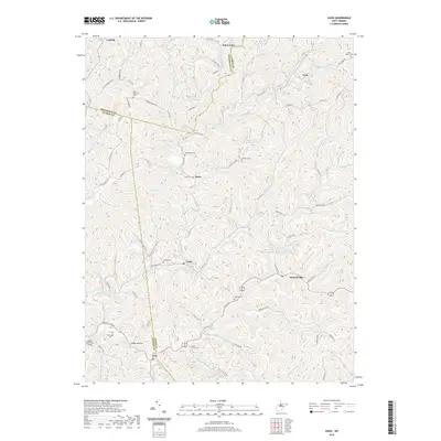
2019 Map of Vadis
USGS Topo · Published 2019About this map
Vadis sits at a junction of creek valleys where Gilmer and Lewis counties meet, serving as a focal point for a landscape defined by its intricate drainage networks. The settlement patterns follow the winding paths of Fink Creek, Leading Creek, and Alum Fork, where small communities like Hurst and Alum Bridge developed along the narrow flatlands. Family history is etched into the terrain through numerous small burial grounds, including Halderman Cem, Woofter Cem, and Rock Grove Cem, which often occupy elevated positions above the valley floors.
Find a feature on this map
86 named features on this map. Tap any name to fly to it.
Don’t see what you’re looking for? This feature index may not catch every label — zoom into the map to look around manually.
Map Details
Editions of this 2019 Vadis Map
This is the sole edition of this map. No revisions or reprints were ever made.
Other maps of this area

1893 · Sutton
USGS Topo · 1:125,000

1904 · Vadis
USGS Topo · 1:62,500

1906 · Holbrook
USGS Topo · 1:62,500

1906 · Glenville
USGS Topo · 1:62,500

1906 · Burnsville
USGS Topo · 1:62,500

1924 · Holbrook
USGS Topo · 1:62,500

1925 · Glenville
USGS Topo · 1:62,500

1925 · Burnsville
USGS Topo · 1:62,500

1925 · Vadis
USGS Topo · 1:62,500

1926 · Holbrook
USGS Topo · 1:62,500