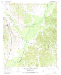
1966 Map of Vaiden
USGS Topo · Published 1988About this map
Vaiden stands as the primary hub of this Central Mississippi landscape during the mid-1960s, situated at the intersection of significant transportation routes. The Illinois Central railroad runs parallel to the western highway corridor, connecting the town to the smaller settlement of Beatty to the south. This area is defined by the winding course of the Big Black River, which forms natural boundaries alongside Hays Creek and Peachahala Creek.
Find a feature on this map
33 named features on this map. Tap any name to fly to it.
Don’t see what you’re looking for? This feature index may not catch every label — zoom into the map to look around manually.
Map Details
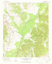
Editions of this 1966 Vaiden Map
2 editions found
Other maps of this area

1953 · West Point
USGS Topo · 1:250,000

1958 · West Point
USGS Topo · 1:250,000

1963 · West Point
USGS Topo · 1:250,000

1964 · West
USGS Topo · 1:24,000

1964 · Kosciusko NE
USGS Topo · 1:24,000

1964 · Hesterville
USGS Topo · 1:24,000

1966 · Kilmichael
USGS Topo · 1:24,000

1966 · Poplar Creek
USGS Topo · 1:24,000

1966 · Winona
USGS Topo · 1:24,000

1966 · Kosciusko
USGS Topo · 1:62,500