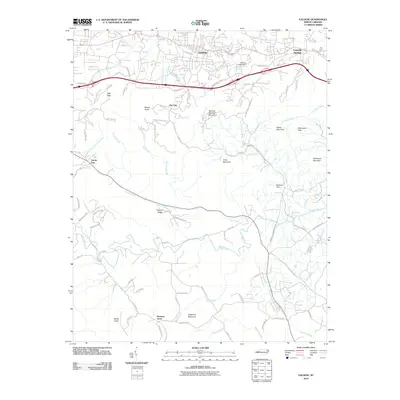
2010 Map of Valdese
USGS Topo · Published 2010About this map
Valdese and Connelly Springs anchor the northern corridor of this 2010 landscape, where the foothills of the Blue Ridge transition into the Piedmont. The terrain is defined by a series of prominent elevations, including High Peak and the sprawling Mineral Springs Mountain. This survey reveals a complex network of local infrastructure and natural waterways, notably where the Henry Fork and Laurel Creek carve through the southern ridges. The presence of Valdese Lake Dam on Micol Creek and McCorkle Dam near Cub Creek illustrates the management of local water resources for this Burke County community. For those tracing regional development, the map shows a blend of dense residential streets in the northern towns against the more dispersed rural settlements like Pleasant Grove and the small locality of Abee to the south.
Find a feature on this map
90 named features on this map. Tap any name to fly to it.
Don’t see what you’re looking for? This feature index may not catch every label — zoom into the map to look around manually.
Map Details
Editions of this 2010 Valdese Map
This is the sole edition of this map. No revisions or reprints were ever made.
Other maps of this area

1895 · Hickory
USGS Topo · 1:125,000

1905 · Morganton
USGS Topo · 1:125,000

1953 · Charlotte
USGS Topo · 1:250,000

1954 · Charlotte
USGS Topo · 1:250,000

1956 · Valdese
USGS Topo · 1:24,000

1956 · Benn Knob
USGS Topo · 1:24,000

1956 · Morganton North
USGS Topo · 1:24,000

1956 · Casar
USGS Topo · 1:24,000

1956 · Morganton South
USGS Topo · 1:24,000

1956 · Drexel
USGS Topo · 1:24,000