
1960 Map of Valdez A-8
USGS Topo · Published 1963About this map
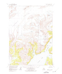
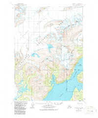
The massive Columbia Glacier dominates the northwestern corner of this landscape, its terminus pushing toward the waters of Columbia Bay. Mapped just a few years before the 1964 earthquake altered much of the Alaskan coastline, this survey documents the extensive ice fields and coastal inlets of the Chugach National Forest. The map traces the maritime corridor from Valdez Arm through the constricted Valdez Narrows into Port Valdez, a vital waterway for the region's shipping.
Find a feature on this map
34 named features on this map. Tap any name to fly to it.
Don’t see what you’re looking for? This feature index may not catch every label — zoom into the map to look around manually.
Map Details
Editions of this 1960 Valdez A-8 Map
3 editions found
Other maps of this area

1948 · Cordova
USGS Topo · 1:250,000

1950 · Cordova D-7
USGS Topo · 1:63,360

1951 · Seward
USGS Topo · 1:250,000

1951 · Anchorage
USGS Topo · 1:250,000

1951 · Cordova
USGS Topo · 1:250,000

1951 · Seward D-1
USGS Topo · 1:63,360

1951 · Cordova D-8
USGS Topo · 1:63,360

1952 · Valdez
USGS Topo · 1:250,000

1952 · Seward D-1
USGS Topo · 1:63,360

1952 · Cordova D-8
USGS Topo · 1:63,360