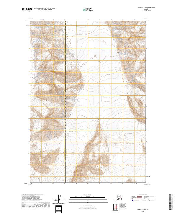
2023 Map of Valdez C-8 SW
USGS Topo · Published 2023About this map
Matanuska-Susitna Co and Copper River Co meet in this high-altitude Alaskan landscape, where the administrative boundary divides some of the state's most formidable terrain. The 2023 survey illustrates a wilderness defined by extreme vertical relief and glacial topography, with numerous unnamed peaks and drainage systems carving through the mountain ranges. The transition between these two regions is marked solely by a straight-line jurisdictional border, cutting through a landscape that remains largely untouched by modern infrastructure or permanent settlements. The map provides a contemporary record of this remote interior junction, highlighting the complex contour patterns and drainage networks that characterize this part of the Chugach Mountains or Copper River basin area.
Find a feature on this map
5 named features on this map. Tap any name to fly to it.
Don’t see what you’re looking for? This feature index may not catch every label — zoom into the map to look around manually.
Map Details
Editions of this 2023 Valdez C-8 SW Map
This is the sole edition of this map. No revisions or reprints were ever made.
Other maps of this area

1951 · Anchorage
USGS Topo · 1:250,000

1952 · Valdez
USGS Topo · 1:250,000

1960 · Anchorage B-1
USGS Topo · 1:63,360

1960 · Valdez B-8
USGS Topo · 1:63,360

1960 · Valdez C-8
USGS Topo · 1:63,360

1960 · Anchorage C-1
USGS Topo · 1:63,360

1960 · Valdez
USGS Topo · 1:250,000

1962 · Anchorage
USGS Topo · 1:250,000

1979 · Anchorage
USGS Topo · 1:250,000
1993 · Valdez C-8
USGS Topo · 1:63,360