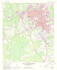
1961 Map of Valdosta
USGS Topo · Published 1988About this map
Valdosta serves as a regional hub of education and transport in this detailed survey, featuring the sprawling campus of Valdosta State College and the specialized Langdale Yard rail facilities. The city’s mid-century expansion is documented through new residential corridors and the prominence of Valdosta Regional Airport. Beyond the urban core, the landscape transitions into the significant wetlands of Mud Swamp, while the historic site of Troupville sits near the confluence of the Little River and Withlacoochee River.
Find a feature on this map
72 named features on this map. Tap any name to fly to it.
Don’t see what you’re looking for? This feature index may not catch every label — zoom into the map to look around manually.
Map Details
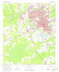
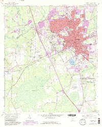
Editions of this 1961 Valdosta Map
4 editions found
Other maps of this area

1954 · Valdosta
USGS Topo · 1:250,000

1956 · Clyattville
USGS Topo · 1:24,000

1956 · Nankin
USGS Topo · 1:24,000

1958 · Valdosta
USGS Topo · 1:250,000

1959 · Valdosta
USGS Topo · 1:250,000

1961 · Hahira East
USGS Topo · 1:24,000

1961 · Valdosta
USGS Topo · 1:24,000

1961 · Hahira West
USGS Topo · 1:24,000

1961 · Ousley
USGS Topo · 1:24,000

1971 · Indianola
USGS Topo · 1:24,000