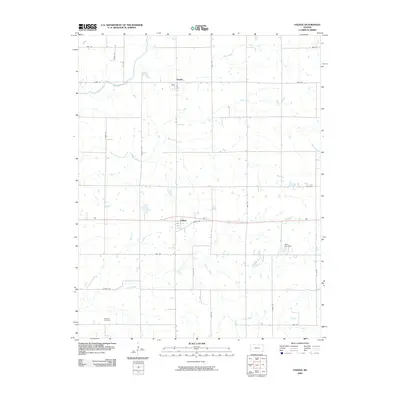
2009 Map of Valeda
USGS Topo · Published 2009About this map
Angola and Valeda anchor this corner of Labette County, revealing a landscape defined by an orderly grid of section-line roads and the winding paths of several regional waterways. In the northern portion of the map, Angola sits near the intersection of Elk Rd and Main, just south of the meandering Pumpkin Creek. The terrain is characterized by its agricultural layout, punctuated by family and community landmarks such as Leib Cemetery to the east and Roberts Cemetery in the southwest corner.
Find a feature on this map
26 named features on this map. Tap any name to fly to it.
Don’t see what you’re looking for? This feature index may not catch every label — zoom into the map to look around manually.
Map Details
Editions of this 2009 Valeda Map
This is the sole edition of this map. No revisions or reprints were ever made.
Other maps of this area

1886 · Independence
USGS Topo · 1:125,000

1886 · Parsons
USGS Topo · 1:125,000

1893 · Parsons
USGS Topo · 1:125,000

1894 · Independence
USGS Topo · 1:125,000

1901 · Nowata
USGS Topo · 1:125,000

1901 · Vinita
USGS Topo · 1:125,000

1905 · Independence
USGS Topo · 1:125,000

1913 · Vinita
USGS Topo · 1:125,000

1914 · Nowata
USGS Topo · 1:125,000

1946 · Mound Valley
USGS Topo · 1:62,500