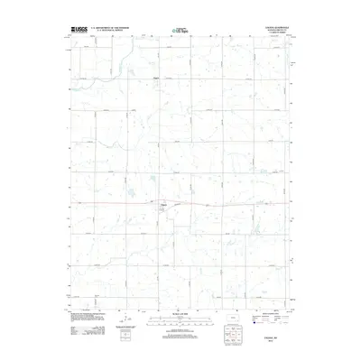
2012 Map of Valeda
USGS Topo · Published 2012About this map
Angola and Valeda anchor this corner of Labette County, situated within a prairie landscape defined by a dense network of meandering waterways. The drainage pattern is complex, with Richland Cr, Rock Cr, and Pumpkin Cr converging in the north, while Snow Cr and Deer Cr cross the southern and central sections. This 2012 survey illustrates the enduring grid of rural section roads, such as 9000 RD and Elk RD, which have organized the landscape for generations.
Find a feature on this map
38 named features on this map. Tap any name to fly to it.
Don’t see what you’re looking for? This feature index may not catch every label — zoom into the map to look around manually.
Map Details
Editions of this 2012 Valeda Map
This is the sole edition of this map. No revisions or reprints were ever made.
Other maps of this area

1886 · Independence
USGS Topo · 1:125,000

1886 · Parsons
USGS Topo · 1:125,000

1893 · Parsons
USGS Topo · 1:125,000

1894 · Independence
USGS Topo · 1:125,000

1901 · Nowata
USGS Topo · 1:125,000

1901 · Vinita
USGS Topo · 1:125,000

1905 · Independence
USGS Topo · 1:125,000

1913 · Vinita
USGS Topo · 1:125,000

1914 · Nowata
USGS Topo · 1:125,000

1946 · Mound Valley
USGS Topo · 1:62,500