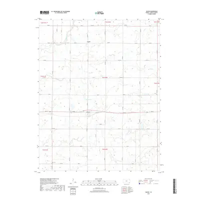
2018 Map of Valeda
USGS Topo · Published 2018About this map
Valeda and Angola define the small-town character of this southeastern Kansas landscape. The area is marked by a deliberate grid of township and range lines, where several local roads follow the section boundaries. Waterways such as Pumpkin Creek and Deer Cr meander through the prairie, providing a natural contrast to the geometric agricultural layout. Genealogists can locate specific burial sites like Roberts Cem in the southwest and Lei Cem to the east, which offer vital links to the families who settled this portion of Labette County. The presence of Mallard Pond and various smaller creeks like Snow Cr and Rock Cr illustrates the drainage patterns of the region, supporting the local farming and ranching operations that have long anchored these rural communities.
Find a feature on this map
35 named features on this map. Tap any name to fly to it.
Don’t see what you’re looking for? This feature index may not catch every label — zoom into the map to look around manually.
Map Details
Editions of this 2018 Valeda Map
This is the sole edition of this map. No revisions or reprints were ever made.
Other maps of this area

1886 · Independence
USGS Topo · 1:125,000

1886 · Parsons
USGS Topo · 1:125,000

1893 · Parsons
USGS Topo · 1:125,000

1894 · Independence
USGS Topo · 1:125,000

1901 · Nowata
USGS Topo · 1:125,000

1901 · Vinita
USGS Topo · 1:125,000

1905 · Independence
USGS Topo · 1:125,000

1913 · Vinita
USGS Topo · 1:125,000

1914 · Nowata
USGS Topo · 1:125,000

1946 · Mound Valley
USGS Topo · 1:62,500