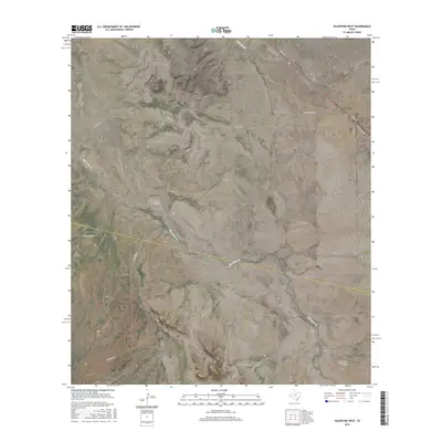
2016 Map of Valentine West
USGS Topo · Published 2016About this map
Valentine stands at the eastern edge of this Far West Texas landscape, where the high desert terrain of Jeff Davis and Presidio counties meets. The settlement serves as a focal point along the transportation corridor defined by N Main St and California Ave, illustrating the sparse but deliberate layout of ranching hubs in the region. The map captures a complex drainage system characterized by ephemeral watercourses like Wild Horse Cr and Tally Slough, which have carved significant landmarks into the earth.
Find a feature on this map
14 named features on this map. Tap any name to fly to it.
Don’t see what you’re looking for? This feature index may not catch every label — zoom into the map to look around manually.
Map Details
Editions of this 2016 Valentine West Map
This is the sole edition of this map. No revisions or reprints were ever made.
Other maps of this area
1892 · Chispa
USGS Topo · 1:125,000
1894 · Valentine
USGS Topo · 1:125,000
1895 · Chispa
USGS Topo · 1:125,000
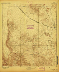
1895 · Marfa
USGS Topo · 1:125,000
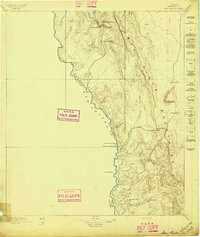
1896 · San Carlos
USGS Topo · 1:125,000
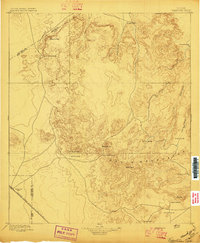
1897 · Valentine
USGS Topo · 1:125,000
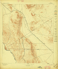
1897 · Chispa
USGS Topo · 1:125,000
1943 · Valentine
USGS Topo · 1:125,000
1959 · Marfa
USGS Topo · 1:250,000
1965 · Marfa
USGS Topo · 1:250,000