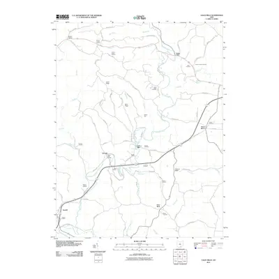
2010 Map of Vales Mills
USGS Topo · Published 2010About this map
Raccoon Creek and its many tributaries, including Merritt Run, Russell Run, and Long Run, carve the landscape of this Vinton County region. The area is defined by a series of small, traditional settlements that grew around local industries, most notably Vales Mills, Bolins Mills, and Arbaugh. These communities are connected by a network of winding roads like Union Ridge Rd and Arbaugh Rd, which follow the natural contours of the land between prominent elevations such as Dixon Hill and Chestnut Ridge.
Find a feature on this map
86 named features on this map. Tap any name to fly to it.
Don’t see what you’re looking for? This feature index may not catch every label — zoom into the map to look around manually.
Map Details
Editions of this 2010 Vales Mills Map
This is the sole edition of this map. No revisions or reprints were ever made.
Other maps of this area

1903 · Athens
USGS Topo · 1:62,500

1904 · Zaleski
USGS Topo · 1:62,500

1905 · Athens
USGS Topo · 1:62,500

1905 · Wilkesville
USGS Topo · 1:62,500

1907 · Pomeroy
USGS Topo · 1:62,500

1907 · Zaleski
USGS Topo · 1:62,500

1908 · Wilkesville
USGS Topo · 1:62,500

1947 · Columbus
USGS Topo · 1:250,000

1960 · Albany
USGS Topo · 1:24,000

1960 · Rutland
USGS Topo · 1:24,000