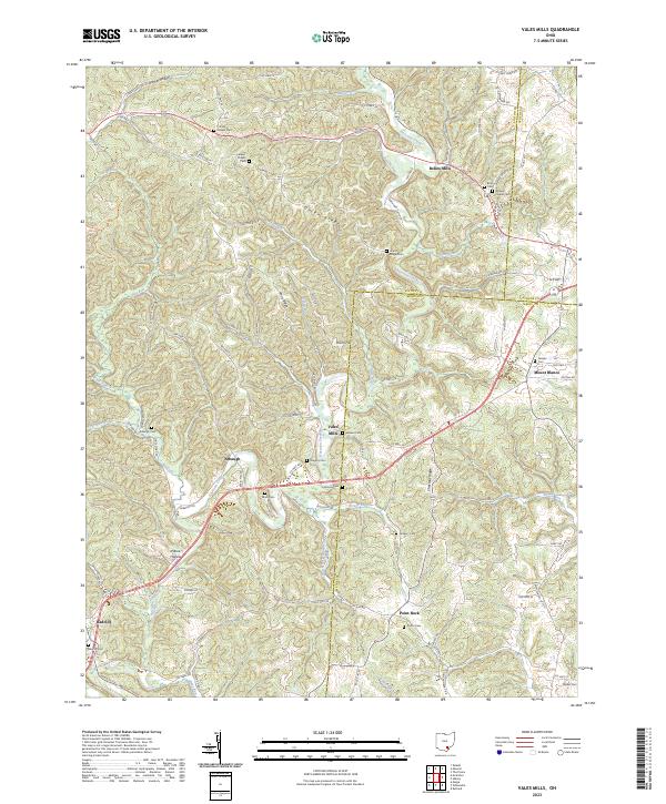
2023 Map of Vales Mills
USGS Topo · Published 2023About this map
Vales Mills and Bolins Mills anchor this portion of the Vinton County landscape, where the winding course of Raccoon Creek and its many tributaries, such as Russell Run and Brush Fork, dictate the pattern of settlement. The terrain is defined by prominent elevations like Union Ridge and Chestnut Ridge, which provide a backdrop for a series of small, interconnected communities including Arbaugh, Mount Blanco, and Point Rock. Local history is deeply embedded in the numerous family-named landmarks and country burial grounds, such as Harkins Chapel Cem, Putnam Chapel Cem, and Castor Cem. The map illustrates a rural network of township and county roads, including Harkins Chapel Rd and Weaver Church Rd, that connect these isolated hamlets and churches across the complex topography of Dixon Hill and Pierce Hollow.
Find a feature on this map
114 named features on this map. Tap any name to fly to it.
Don’t see what you’re looking for? This feature index may not catch every label — zoom into the map to look around manually.
Map Details
Editions of this 2023 Vales Mills Map
This is the sole edition of this map. No revisions or reprints were ever made.
Other maps of this area

1903 · Athens
USGS Topo · 1:62,500

1904 · Zaleski
USGS Topo · 1:62,500

1905 · Athens
USGS Topo · 1:62,500

1905 · Wilkesville
USGS Topo · 1:62,500

1907 · Pomeroy
USGS Topo · 1:62,500

1907 · Zaleski
USGS Topo · 1:62,500

1908 · Wilkesville
USGS Topo · 1:62,500

1947 · Columbus
USGS Topo · 1:250,000

1960 · Albany
USGS Topo · 1:24,000

1960 · Rutland
USGS Topo · 1:24,000