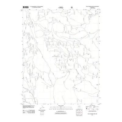
2011 Map of Valle Grande Peak
USGS Topo · Published 2011About this map
Valle Grande Peak rises as the central landmark of this Rio Arriba County landscape, where the high-altitude terrain is defined by a complex network of canyons and seasonal watercourses. The 2011 topography reveals a land managed for forestry and ranching, anchored by the Borracho Forest Service Facility in the northeast and La Jarita Ranches to the east. Water sources are critical features in this environment, from the Petrero Waterfall on the Cañada de Potrero to isolated points like Jacal De Palo Spring and La Cueva Springs.
Find a feature on this map
31 named features on this map. Tap any name to fly to it.
Don’t see what you’re looking for? This feature index may not catch every label — zoom into the map to look around manually.
Map Details
Editions of this 2011 Valle Grande Peak Map
This is the sole edition of this map. No revisions or reprints were ever made.
Other maps of this area

1918 · Abiquiu
USGS Topo · 1:125,000

1918 · Tusas
USGS Topo · 1:125,000

1953 · Valle Grande Peak
USGS Topo · 1:24,000

1953 · Magote Peak
USGS Topo · 1:24,000

1953 · El Rito
USGS Topo · 1:24,000

1953 · La Madera
USGS Topo · 1:24,000

1953 · Ojo Caliente
USGS Topo · 1:24,000

1953 · Canjilon SE
USGS Topo · 1:24,000

1954 · Aztec
USGS Topo · 1:250,000

1955 · Cebolla
USGS Topo · 1:62,500