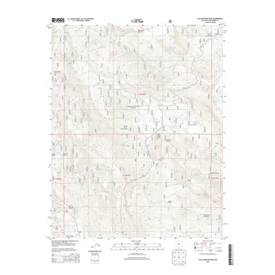
2013 Map of Valle Grande Peak
USGS Topo · Published 2013About this map
Carson National Forest dominates this Rio Arriba County landscape, where high-elevation drainage systems like Arroyo Seco and the Middle Fork Cañada del Agua carve through the Ortega Mountains. This 2013 survey illustrates a high-country environment defined by its water management and grazing history, evidenced by numerous named tanks such as Jarita Tank Number Two and Ortega Tank. Significant peaks and canyons, including Valle Grande Peak and the deep Cañon de la Cueva, dictate the layout of forest roads and trails. The map highlights the localized geography of the La Jarita Ranches and the secluded Rincon de Tio Francisquito, while the Borracho Forest Service Facility stands as a focal point for land management. These features, along with landmarks like the Potrero Waterfall, reveal the intricate network of springs and canyons that sustain this portion of Northern New Mexico.
Find a feature on this map
84 named features on this map. Tap any name to fly to it.
Don’t see what you’re looking for? This feature index may not catch every label — zoom into the map to look around manually.
Map Details
Editions of this 2013 Valle Grande Peak Map
This is the sole edition of this map. No revisions or reprints were ever made.
Other maps of this area

1918 · Abiquiu
USGS Topo · 1:125,000

1918 · Tusas
USGS Topo · 1:125,000

1953 · Valle Grande Peak
USGS Topo · 1:24,000

1953 · Magote Peak
USGS Topo · 1:24,000

1953 · El Rito
USGS Topo · 1:24,000

1953 · La Madera
USGS Topo · 1:24,000

1953 · Ojo Caliente
USGS Topo · 1:24,000

1953 · Canjilon SE
USGS Topo · 1:24,000

1954 · Aztec
USGS Topo · 1:250,000

1955 · Cebolla
USGS Topo · 1:62,500