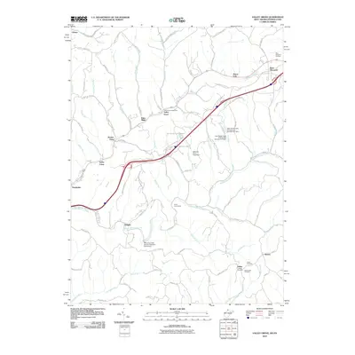
2010 Map of Valley Grove
USGS Topo · Published 2010About this map
Valley Grove and the neighboring settlements of Point Mills and West Alexander are connected by a network of winding valley roads and modern infrastructure at the West Virginia-Pennsylvania border. This landscape is defined by the drainages of Little Wheeling Creek and Middle Wheeling Creek, where historical development followed the narrow bottomlands and ridges. The presence of the Valley Grove Post Office and several local burial grounds, including the West Allegheny Cemetery and Dallas Cemetery, provides specific points of interest for genealogical research.
Find a feature on this map
76 named features on this map. Tap any name to fly to it.
Don’t see what you’re looking for? This feature index may not catch every label — zoom into the map to look around manually.
Map Details
Editions of this 2010 Valley Grove Map
This is the sole edition of this map. No revisions or reprints were ever made.
Other maps of this area

1902 · Wheeling
USGS Topo · 1:62,500

1904 · Cameron
USGS Topo · 1:62,500

1905 · Rogersville
USGS Topo · 1:62,500

1907 · Claysville
USGS Topo · 1:62,500

1935 · Cameron
USGS Topo · 1:62,500

1935 · Wheeling
USGS Topo · 1:62,500

1942 · Cameron
USGS Topo · 1:62,500

1942 · Wheeling
USGS Topo · 1:62,500

1949 · Clarksburg
USGS Topo · 1:250,000

1951 · Canton
USGS Topo · 1:250,000