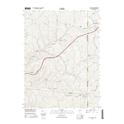
2014 Map of Valley Grove
USGS Topo · Published 2014About this map
The National Rd carves through the undulating topography of the Northern Panhandle and the Pennsylvania border, anchoring a string of historic villages including Valley Grove, Point Mills, and Triadelphia. This corridor follows the drainage of Little Wheeling Cr, where the landmark Erskine Covered Bridge spans the water. To the east, West Alexander sits right at the state line, its layout defined by W Main St and E Main St near the W Allegheny Cem. The landscape is densely populated with family-named water sources, such as Louis Lasch Spring and Martin Berberich Spring, which highlight the rural genealogy of Washington County and Ohio County. In the southern reaches, the settlement of Dallas serves as a local hub, featuring the Dallas Cem and Mt View Cem positioned along the ridge lines.
Find a feature on this map
155 named features on this map. Tap any name to fly to it.
Don’t see what you’re looking for? This feature index may not catch every label — zoom into the map to look around manually.
Map Details
Editions of this 2014 Valley Grove Map
This is the sole edition of this map. No revisions or reprints were ever made.
Other maps of this area

1902 · Wheeling
USGS Topo · 1:62,500

1904 · Cameron
USGS Topo · 1:62,500

1905 · Rogersville
USGS Topo · 1:62,500

1907 · Claysville
USGS Topo · 1:62,500

1935 · Cameron
USGS Topo · 1:62,500

1935 · Wheeling
USGS Topo · 1:62,500

1942 · Cameron
USGS Topo · 1:62,500

1942 · Wheeling
USGS Topo · 1:62,500

1949 · Clarksburg
USGS Topo · 1:250,000

1951 · Canton
USGS Topo · 1:250,000