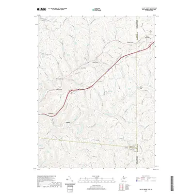
2019 Map of Valley Grove
USGS Topo · Published 2019About this map
The National Rd corridor defines the landscape of the Northern Panhandle and southwestern Pennsylvania on this 2019 survey. The route connects several historic settlements, including Valley Grove, Roneys Point, and Triadelphia, where the terrain transitions from steep ridges down to the banks of Middle Wheeling Cr. Numerous family-named springs, such as John Kochy Spring and George Frazer Spring, are scattered throughout the hills, reflecting the agricultural and rural residency patterns of Ohio and Washington counties. This modern topographic study captures the area's intricate network of secondary roads, like Stone Church Rd and Gantzers Ridge Rd, which trace the high ground between watersheds. Notable landmarks include the Erskine Covered Bridge and multiple historic burial grounds, including the West Allegheny Cem and Mount View Cem, which offer significant value for genealogists tracing local families across state lines.
Find a feature on this map
173 named features on this map. Tap any name to fly to it.
Don’t see what you’re looking for? This feature index may not catch every label — zoom into the map to look around manually.
Map Details
Editions of this 2019 Valley Grove Map
This is the sole edition of this map. No revisions or reprints were ever made.
Other maps of this area

1902 · Wheeling
USGS Topo · 1:62,500

1904 · Cameron
USGS Topo · 1:62,500

1905 · Rogersville
USGS Topo · 1:62,500

1907 · Claysville
USGS Topo · 1:62,500

1935 · Cameron
USGS Topo · 1:62,500

1935 · Wheeling
USGS Topo · 1:62,500

1942 · Cameron
USGS Topo · 1:62,500

1942 · Wheeling
USGS Topo · 1:62,500

1949 · Clarksburg
USGS Topo · 1:250,000

1951 · Canton
USGS Topo · 1:250,000