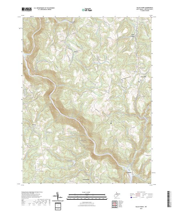
2023 Map of Valley Point
USGS Topo · Published 2023About this map
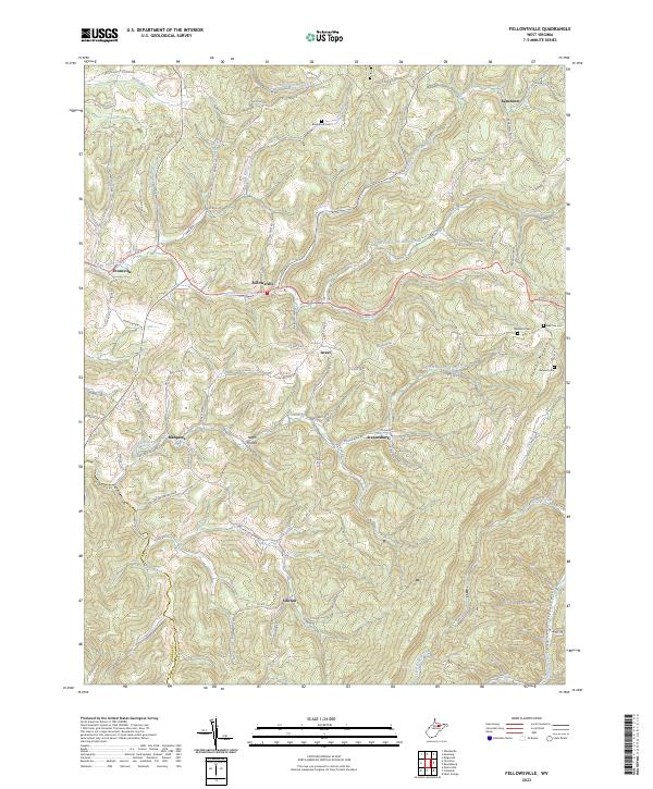
The Cheat River carves a deep path through this corner of Preston County, defining a landscape of high ridges and narrow hollows. At the heart of the area, Valley Point serves as a central hub, flanked by the Valley Point Airport and the Mount Moriah Cem. The terrain is marked by distinct geological and topographical features like Hogback Ridge and the Long Hollow, while smaller settlements such as Hudson, Sugar Valley, and Rockville are scattered across the uplands.
Find a feature on this map
105 named features on this map. Tap any name to fly to it.
Don’t see what you’re looking for? This feature index may not catch every label — zoom into the map to look around manually.
Map Details
Editions of this 2023 Valley Point Map
This is the sole edition of this map. No revisions or reprints were ever made.
Historical Maps of Valley Point Through Time
13 maps found
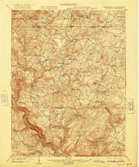
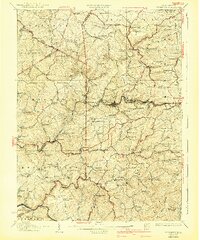
1904 Bruceton
Preston County, WV
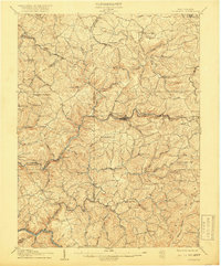
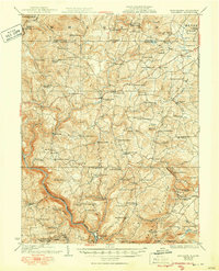
1907 Thornton
Preston County, WV
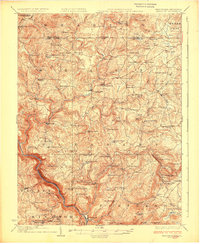
1926 Bruceton
Preston County, WV
1926 Thornton
Preston County, WV
1933 Bruceton
Preston County, WV
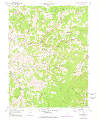
1958 Fellowsville
Preston County, WV
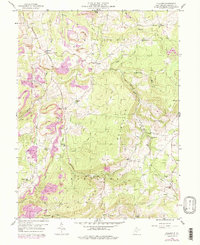
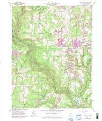
1959 Cuzzart
Preston County, WV
1959 Valley Point
Preston County, WV
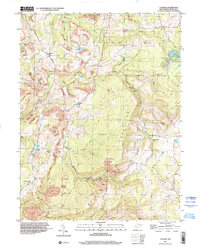
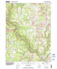
1997 Cuzzart
Preston County, WV
1997 Valley Point
Preston County, WV
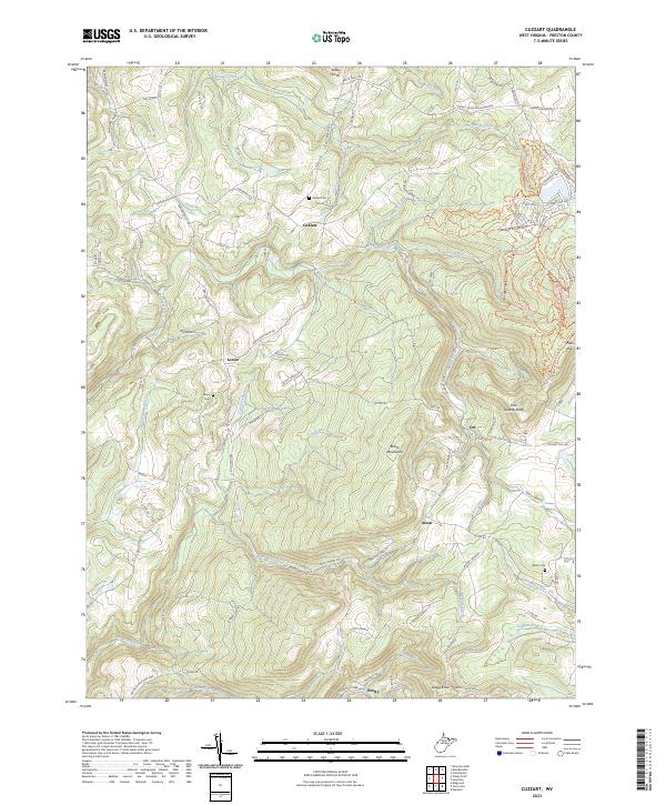
2023 Cuzzart
Preston County, WV
2023 Fellowsville
Preston County, WV
2023 Valley Point
Preston County, WV