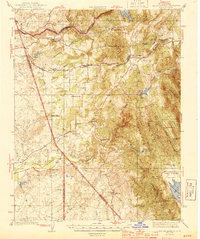
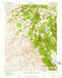
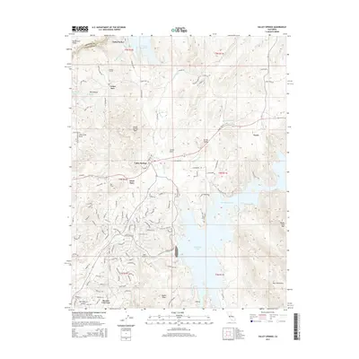
1944 Map of Valley Springs
USGS Topo · Published 1944About this map
The Mokelumne River and Calaveras River systems anchor this 1941 survey, showing the agricultural and mining landscapes of Calaveras County before later mid-century developments. Early settlements like Camanche and Lancha Plana are documented along the riverbanks, alongside the terminus of the Southern Pacific railroad at Valley Springs. The landscape is a mix of small ranching operations and localized industry, evidenced by family-named landmarks such as the Rosabella Ranch, Ospital Ranch, and Gahn Ranch.
Find a feature on this map
44 named features on this map. Tap any name to fly to it.
Don’t see what you’re looking for? This feature index may not catch every label — zoom into the map to look around manually.
Map Details
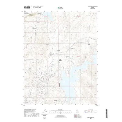
Editions of this 1944 Valley Springs Map
4 editions found
Historical Maps of Rancho Calaveras Through Time
8 maps found
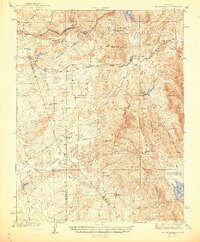
1944 Valley Springs
Calaveras County, CA
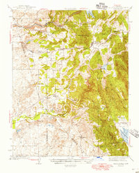
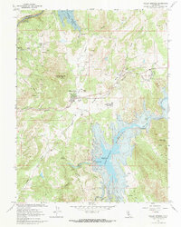
1956 Valley Springs
Calaveras County, CA
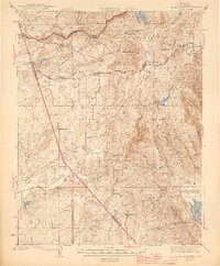
1962 Valley Springs
Calaveras County, CA
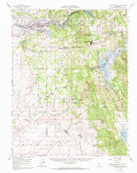
1962 Valley Springs
Calaveras County, CA
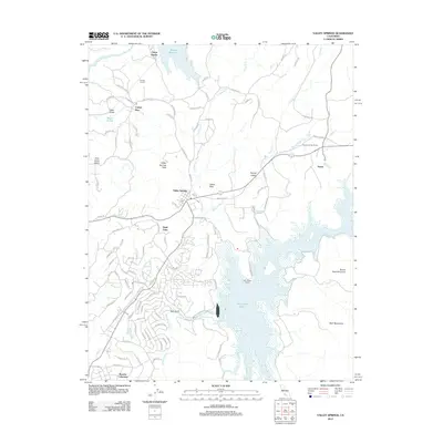
2012 Valley Springs
Calaveras County, CA
2015 Valley Springs
Calaveras County, CA
2018 Valley Springs
Calaveras County, CA
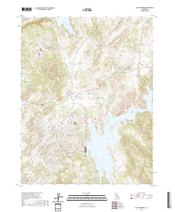
2021 Valley Springs
Calaveras County, CA