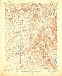
1944 Map of Valley Springs
USGS Topo · Published 1944About this map
The Mokelumne River and the Calaveras River anchor this wartime landscape, illustrating a region defined by water management and early Central Valley ranching. The presence of the Southern Pacific railroad line through Valley Springs and Burson Helisma Sta highlights the importance of transportation in connecting these rural outposts to larger markets. Notable local landmarks like the Stone Corral Ch and various ranch sites, such as Rosabella Ranch and Gwin Ranch, provide a granular look at the community structure of the early 1940s.
Find a feature on this map
47 named features on this map. Tap any name to fly to it.
Don’t see what you’re looking for? This feature index may not catch every label — zoom into the map to look around manually.
Map Details
Editions of this 1944 Valley Springs Map
4 editions found

Other maps of this area

1889 · Jackson
USGS Topo · 1:125,000

1892 · Jackson
USGS Topo · 1:125,000

1894 · Lodi
USGS Topo · 1:125,000

1897 · Jackson
USGS Topo · 1:125,000

1902 · Jackson
USGS Topo · 1:125,000

1908 · Linden
USGS Topo · 1:31,680

1909 · Goose Creek
USGS Topo · 1:31,680

1909 · Clements
USGS Topo · 1:31,680

1915 · Trigo
USGS Topo · 1:31,680

1915 · Peters
USGS Topo · 1:31,680