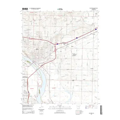
1947 Map of Van Buren
USGS Topo · Published 1969About this map
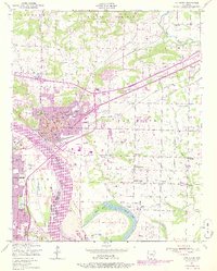
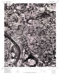
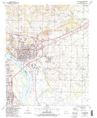
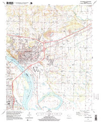
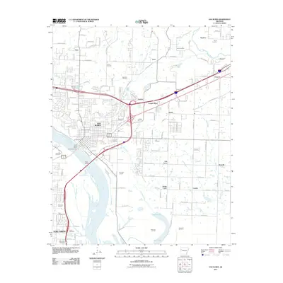
Van Buren sits at the heart of this post-war landscape, where industrial and agricultural life meet along the north bank of the Arkansas River. The city’s dense street grid is flanked by the Missouri Pacific and St Louis-San Francisco railroads, highlighting its role as a regional transport hub. Beyond the urban center, the map reveals a landscape heavily shaped by extractive industry and rural community life. A zinc smelter and numerous strip mines, including several marked as abandoned, illustrate the area's mineral dependence.
Find a feature on this map
41 named features on this map. Tap any name to fly to it.
Don’t see what you’re looking for? This feature index may not catch every label — zoom into the map to look around manually.
Map Details
Editions of this 1947 Van Buren Map
3 editions found
Historical Maps of Fort Smith Through Time
12 maps found

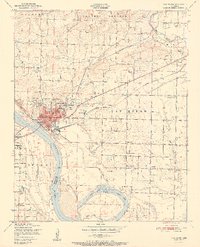
1887 Van Buren
Crawford County, AR
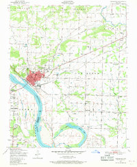
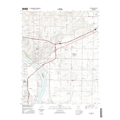
1947 Van Buren
Crawford County, AR

1947 Van Buren
Crawford County, AR
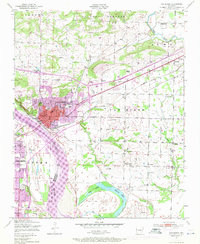
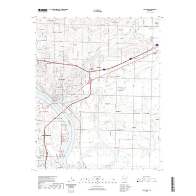
1951 Van Buren
Crawford County, AR
1976 Van Buren
Crawford County, AR
1987 Van Buren
Crawford County, AR
1997 Van Buren
Crawford County, AR
2011 Van Buren
Crawford County, AR
2014 Van Buren
Crawford County, AR
2017 Van Buren
Crawford County, AR
2020 Van Buren
Crawford County, AR
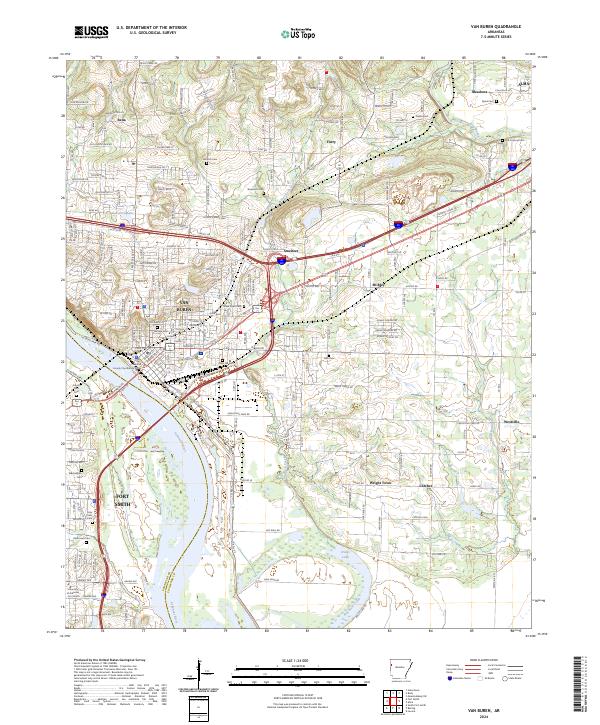
2024 Van Buren
Crawford County, AR