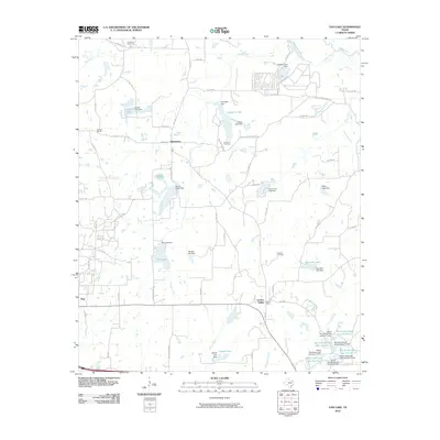
2010 Map of Van Lake
USGS Topo · Published 2010About this map
Van and the surrounding Van Zandt County countryside are defined by a sophisticated network of small-scale water management systems and rural settlements. This 2010 survey reveals a landscape heavily modified by earthen dams, creating numerous private and communal water bodies such as Van Lake, Campbell Lake, and Marsh Lake. The settlement pattern remains largely dispersed, with established clusters at Jamestown and Garden Valley connected by a web of county roads and farm-to-market routes.
Find a feature on this map
84 named features on this map. Tap any name to fly to it.
Don’t see what you’re looking for? This feature index may not catch every label — zoom into the map to look around manually.
Map Details
Editions of this 2010 Van Lake Map
This is the sole edition of this map. No revisions or reprints were ever made.
Other maps of this area

1948 · Tyler
USGS Topo · 1:62,500

1948 · Brownsboro
USGS Topo · 1:62,500

1949 · Tyler
USGS Topo · 1:62,500

1949 · Brownsboro
USGS Topo · 1:62,500

1956 · Tyler
USGS Topo · 1:250,000

1959 · Golden
USGS Topo · 1:24,000

1959 · Grand Saline
USGS Topo · 1:24,000

1959 · Van
USGS Topo · 1:24,000

1959 · Van Lake
USGS Topo · 1:24,000

1959 · Grand Saline
USGS Topo · 1:62,500