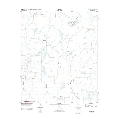
2012 Map of Van Lake
USGS Topo · Published 2012About this map
Wisdom Temple and several legacy burial sites, including Dickerson Cem and Bowman Cem, anchor the rural landscape of northeast Texas as it appeared in the early 21st century. The area is defined by a sophisticated network of small reservoirs and drainage systems, including Garden Lake, Campbell Lake, and the three distinct basins of World Challenge Lake Number 1, 2, and 3. These water bodies, along with Van Lake, indicate the localized importance of water management for agriculture and residential development in this portion of Van Zandt County.
Find a feature on this map
96 named features on this map. Tap any name to fly to it.
Don’t see what you’re looking for? This feature index may not catch every label — zoom into the map to look around manually.
Map Details
Editions of this 2012 Van Lake Map
This is the sole edition of this map. No revisions or reprints were ever made.
Other maps of this area

1948 · Tyler
USGS Topo · 1:62,500

1948 · Brownsboro
USGS Topo · 1:62,500

1949 · Tyler
USGS Topo · 1:62,500

1949 · Brownsboro
USGS Topo · 1:62,500

1956 · Tyler
USGS Topo · 1:250,000

1959 · Golden
USGS Topo · 1:24,000

1959 · Grand Saline
USGS Topo · 1:24,000

1959 · Van
USGS Topo · 1:24,000

1959 · Van Lake
USGS Topo · 1:24,000

1959 · Grand Saline
USGS Topo · 1:62,500