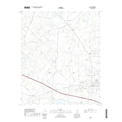
2019 Map of Van
USGS Topo · Published 2019About this map
Van sits as the primary settlement on this East Texas landscape, where the local economy and geography are defined by a network of rural roads and small water bodies. The terrain is characterized by numerous small lakes and ponds, including Roco Lake, Humphree Pond, and Tunnell Pond. Moving north and west from the town center, the map reveals smaller community nodes such as Jones, Pruitt, and Colfax, each connected by a spiderweb of county roads that navigate the headwaters of the Neches River and its various tributaries like Glade Br and Little Saline Cr.
Find a feature on this map
113 named features on this map. Tap any name to fly to it.
Don’t see what you’re looking for? This feature index may not catch every label — zoom into the map to look around manually.
Map Details
Editions of this 2019 Van Map
This is the sole edition of this map. No revisions or reprints were ever made.
Other maps of this area

1948 · Brownsboro
USGS Topo · 1:62,500

1948 · Martins Mill
USGS Topo · 1:62,500

1949 · Martins Mill
USGS Topo · 1:62,500

1949 · Brownsboro
USGS Topo · 1:62,500

1956 · Tyler
USGS Topo · 1:250,000

1959 · Golden
USGS Topo · 1:24,000

1959 · Grand Saline
USGS Topo · 1:24,000

1959 · Van
USGS Topo · 1:24,000

1959 · Van Lake
USGS Topo · 1:24,000

1959 · Grand Saline
USGS Topo · 1:62,500