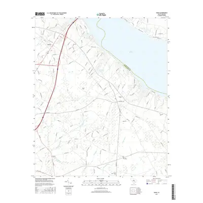
2017 Map of Vance
USGS Topo · Published 2017About this map
Lake Marion dominates the northern horizon of this coastal plain landscape, where the waters of the Santee area meet a complex network of wetlands and creeks. The terrain is defined by a distinct drainage pattern where Horse Range Swamp and Target Swamp thread through the southern reaches, eventually feeding into Sandy Run. This transition from open water to dense swamp suggests a landscape historically shaped by both large-scale reservoir development and the original low-country hydrology.
Find a feature on this map
122 named features on this map. Tap any name to fly to it.
Don’t see what you’re looking for? This feature index may not catch every label — zoom into the map to look around manually.
Map Details
Editions of this 2017 Vance Map
This is the sole edition of this map. No revisions or reprints were ever made.
Other maps of this area

1920 · Eutawville
USGS Topo · 1:48,000

1920 · Bowman
USGS Topo · 1:48,000

1921 · Bowman
USGS Topo · 1:62,500

1921 · Eutawville
USGS Topo · 1:62,500

1943 · Bowman
USGS Topo · 1:62,500

1943 · Orangeburg
USGS Topo · 1:125,000

1943 · Eutawville
USGS Topo · 1:62,500

1946 · Elloree
USGS Topo · 1:62,500

1954 · Augusta
USGS Topo · 1:250,000

1957 · Augusta
USGS Topo · 1:250,000