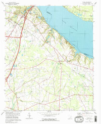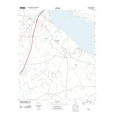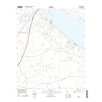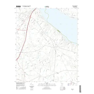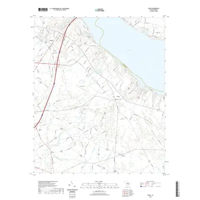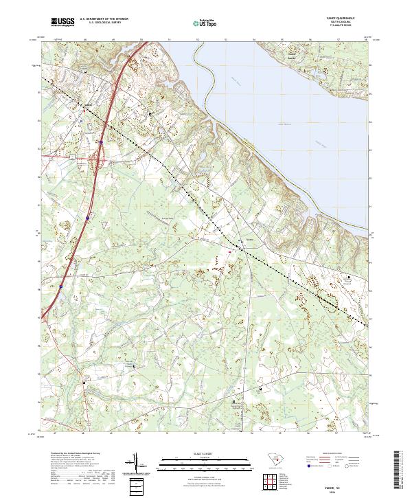
2024 Map of Vance
USGS Topo · Published 2024About this map
The waters of Lake Marion and the Santee River define the northern boundary of this landscape, where the Orangeburg and Clarendon County line follows the old river channel. On the southern shore, the towns of Santee and Vance serve as focal points for a region marked by extensive wetlands and family heritage sites. The intricate network of Horse Range Swamp, Target Swamp, and Batchelor Branch suggests a terrain shaped by slow-moving water and seasonal drainage, long central to the local geography.
Find a feature on this map
151 named features on this map. Tap any name to fly to it.
Don’t see what you’re looking for? This feature index may not catch every label — zoom into the map to look around manually.
Map Details
Editions of this 2024 Vance Map
This is the sole edition of this map. No revisions or reprints were ever made.
Historical Maps of Santee Through Time
6 maps found