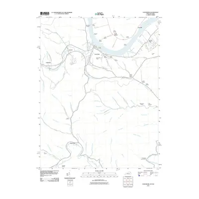
2010 Map of Vanceburg
USGS Topo · Published 2010About this map
Vanceburg serves as the focal point of this Lewis County region, situated along the southern banks of the Ohio River. The landscape is defined by the heavy winding of Salt Lick Creek and the southern reaches of Kinniconick Creek, which together carve through the local topography. This 2010 survey illustrates a community deeply connected to its riverfront, with several established docks including Powers Landing, McKinleys Landing, and Ewings Landing facilitating access to the water. Away from the river, the terrain rises into prominent features like Alum Rock Ridge and Slate Point.
Find a feature on this map
95 named features on this map. Tap any name to fly to it.
Don’t see what you’re looking for? This feature index may not catch every label — zoom into the map to look around manually.
Map Details
Editions of this 2010 Vanceburg Map
This is the sole edition of this map. No revisions or reprints were ever made.
Other maps of this area

1915 · Garrison
USGS Topo · 1:62,500

1918 · Garrison
USGS Topo · 1:62,500

1919 · Vanceburg
USGS Topo · 1:62,500

1949 · Pond Run
USGS Topo · 1:24,000

1949 · Vanceburg
USGS Topo · 1:62,500

1949 · Garrison
USGS Topo · 1:24,000

1949 · Buena Vista
USGS Topo · 1:24,000

1949 · Vanceburg
USGS Topo · 1:24,000

1949 · Concord
USGS Topo · 1:24,000

1949 · Charters
USGS Topo · 1:24,000