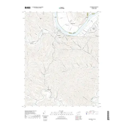
2019 Map of Vanceburg
USGS Topo · Published 2019About this map
Vanceburg serves as the focal point of this Lewis County landscape, situated on the southern bank of the Ohio River. The terrain is defined by narrow bottoms like Kennedys Bottom and Irish Bottom along the water, giving way to the high elevations of Alum Rock Ridge and Slate Point. The southern portion of the map follows the winding path of Kinniconick Creek through a complex network of hollows, including Puncheon Camp Hollow and Backbone Hollow. Family history and local heritage are well-preserved through numerous burial sites, such as Sandy Springs Cem and Adams Cem. The settlement pattern follows the drainage of local creeks, with the community of Kinniconick appearing at the junction of KY 59 and the creek that shares its name, illustrating the enduring relationship between transport routes and natural watercourses in the region.
Find a feature on this map
129 named features on this map. Tap any name to fly to it.
Don’t see what you’re looking for? This feature index may not catch every label — zoom into the map to look around manually.
Map Details
Editions of this 2019 Vanceburg Map
This is the sole edition of this map. No revisions or reprints were ever made.
Other maps of this area

1915 · Garrison
USGS Topo · 1:62,500

1918 · Garrison
USGS Topo · 1:62,500

1919 · Vanceburg
USGS Topo · 1:62,500

1949 · Pond Run
USGS Topo · 1:24,000

1949 · Vanceburg
USGS Topo · 1:62,500

1949 · Garrison
USGS Topo · 1:24,000

1949 · Buena Vista
USGS Topo · 1:24,000

1949 · Vanceburg
USGS Topo · 1:24,000

1949 · Concord
USGS Topo · 1:24,000

1949 · Charters
USGS Topo · 1:24,000